
Interactive travel maps for real adventures
The best travel stories are maps
Adventure Mapper turns your trip into a map anyone can explore. Pin the places you stopped, the days you stayed, and every swimming hole, bakery and wrong turn between them. Friends follow the route you took, then wander past it to see what else was out there.

Why I built this
Everyone knows where they are on a map
Maps are powerful because they give us a language we all understand. No matter where we come from, we can find ourselves, trace a route, and see how one place connects to another. Point to an unfamiliar corner of the world and it feels a little closer. It also makes you wonder what it would be like to stand there.
That is why I built Adventure Mapper around maps. You can follow a trip as it happened, understand each stop in context, and then keep looking beyond the route. Maybe there is a town in the next valley or a beach just past the final pin. The map leaves room to explore those places and imagine a trip of your own.
Jared
Adventurer
How a trip is built
Places, days, and the spots in between
Adventure Mapper lets you tell the story of your adventure the way you lived it: the places you went, the days you spent there, and the things you found in between. No two trips are shaped the same, so nothing here forces yours into a template.
-
 Tokyo 4 days
-
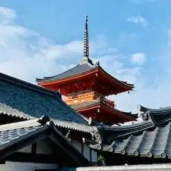 Kyoto 3 days
-
 Hakone
  Onsen by the lake
Short stop? Spots can sit right on the place.
01 — Places
Everywhere you stopped
Drop a pin for each one and the route draws itself between them. How you got there, whether train, ferry, or a long drive, rides along with it.
Kyoto
-
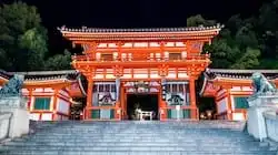 Day 1 — Gion 3 spots
-
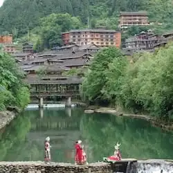 Day 2 — Arashiyama 4 spots
-
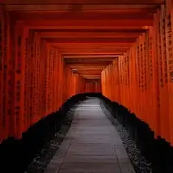 Day 3 — Fushimi 5 spots
02 — Days
What happened while you were there
Stay somewhere a week and each day gets its own page. Passing through in an afternoon? Skip days entirely and go straight to the spots.
Day 2 — Arashiyama
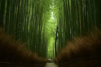
Bamboo grove
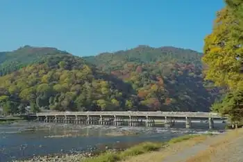
Togetsukyo bridge
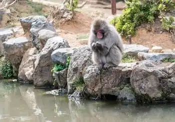
Monkey park

Riverside coffee
03 — Spots
The small things worth pinning
The viewpoint, the bakery, the swimming hole nobody signposted. Photos with location data drop their own pin, so most of this fills itself in.
Why map-first
Written by you. Explored by them.
A travel post ends where the writer stopped typing. A map keeps going. Everything around the route is still there, waiting for someone curious.
A travel post
Posted 14 March · 6 min read
Three days on the Big Sur coast
We picked the car up in Monterey on a Friday morning and were on Highway 1 within the hour. The fog stayed with us until Carmel, then lifted all at once, and the road opened onto that first long view of the water.
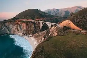
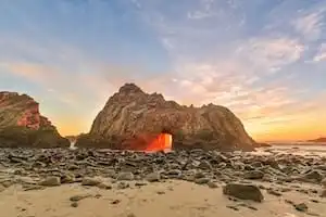
We stopped where the pullouts looked promising and ate lunch on a rock somewhere south of the bridge. By late afternoon the light had gone gold and we still had an hour to drive.
The second day we drove slower. There was a waterfall someone at the motel had mentioned, and a beach you reach down a track with no sign on it, and we found neither of them.
Reads top to bottom, once. Whatever the writer left out is gone, and there's no way to ask what else was down that road.
The same trip, mapped
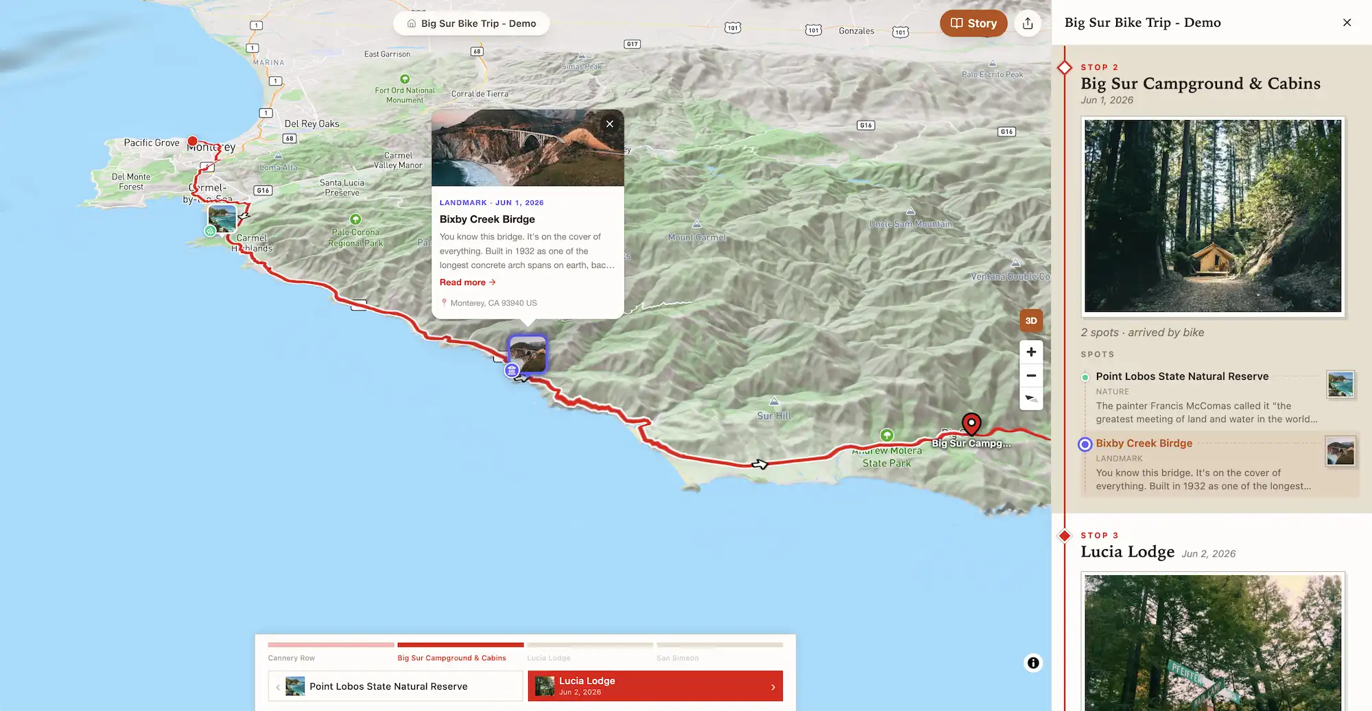
The same story, pinned to a real map. Follow the route, then zoom out, wander off it, and find what the writer drove straight past.
Explore this trip yourselfStill out there?
Map the adventure while it's happening
Adventure Mapper isn't just for the flight home. Open it on the trail, on the ferry, at the bakery you weren't planning to stop at, and the map builds itself as you go.
Pin it where you're standing
Add a place or a spot right from where you are. Take a photo and it lands on the map at your current location, while you still remember why it mattered.
Let people follow along
Your trip shows a pin at your last recorded location, so friends and family back home can open the map and see how far you've gotten.
From the journal
Adventures worth following
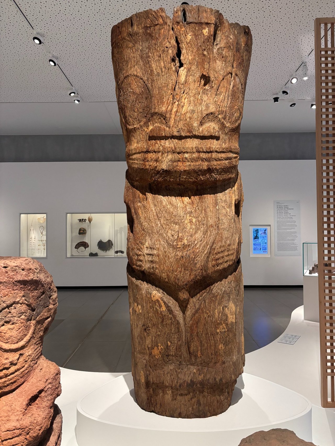
Polynesian Adventures
Island-hopping through French Polynesia, then exploring New Zealand.
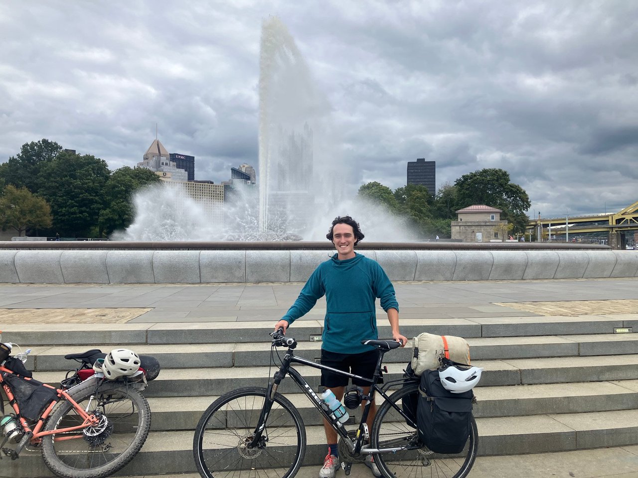
Biking the C&O Canal & GAP Trails
A bikepacking journey along the C&O Canal and Great Allegheny Passage.
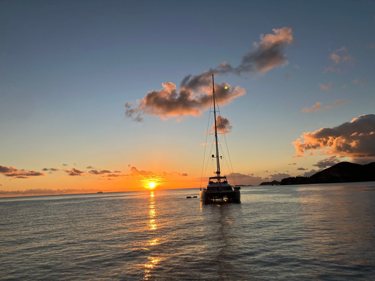
Virgin Islands Sailing Trip
Sailing through the U.S. and British Virgin Islands.
Get notified
Adventure Mapper is invite only while we're getting it right, so we're adding travelers a few at a time and reading what they make.
Leave your name and email and we'll send your invite the day the map opens. One email, nothing else.
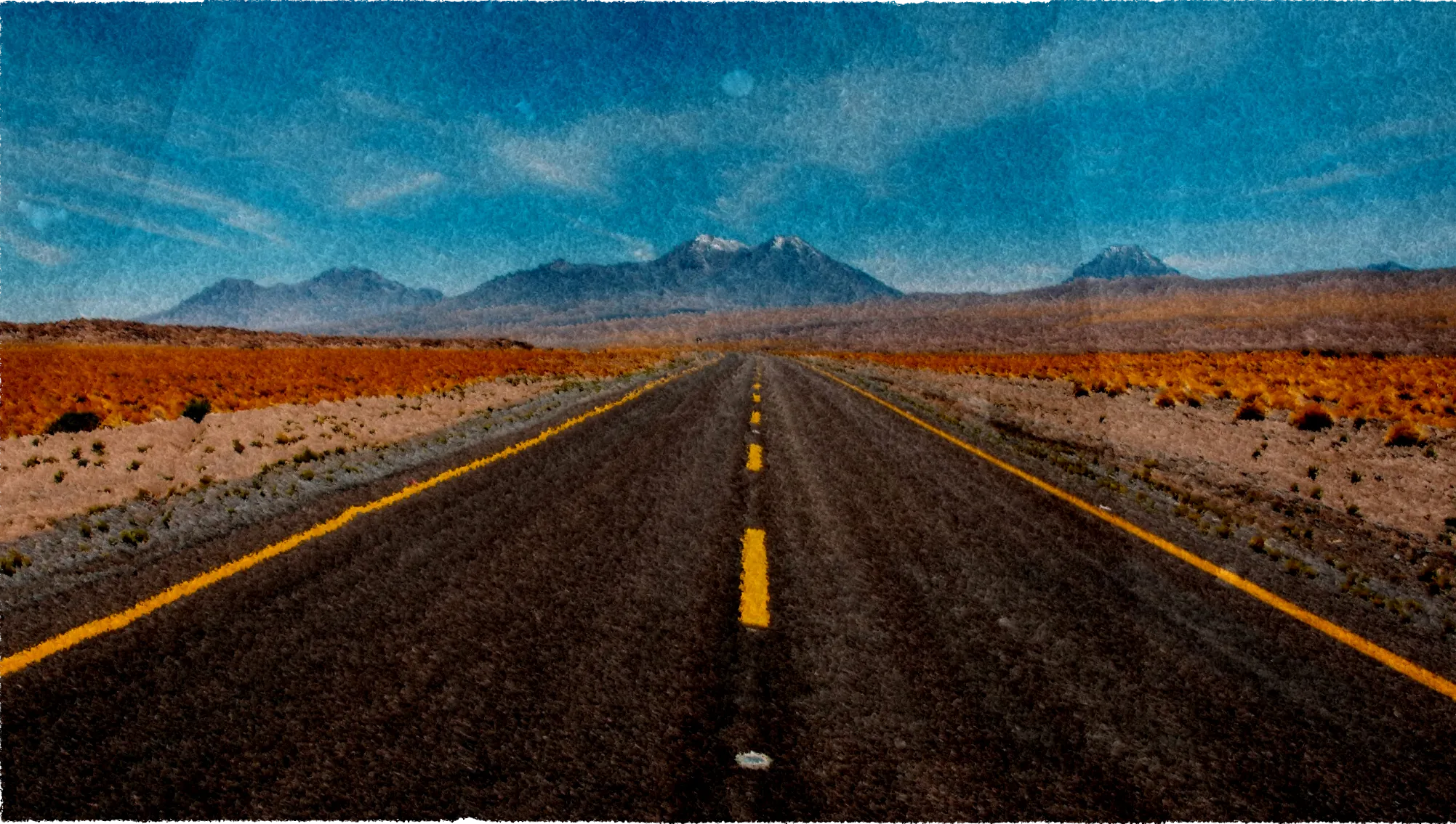
Now get out there and explore!
Map your adventure as it happens, or piece it back together when you're home. Start with one pin and go from there. We're not going anywhere.
Start your first adventure