
U.S. National Parks
All 63 national parks, from Acadia to Zion.
American Samoa · U.S. Virgin Islands · United States
Every national park in the United States, one pin each. Sequoia and Kings Canyon are two parks managed as one, so they share a pin. Park descriptions and photos courtesy of the National Park Service (nps.gov).
Place 1
Acadia National Park
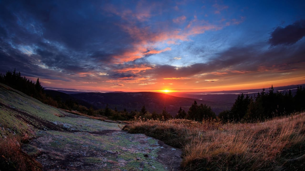
Acadia National Park protects the natural beauty of the highest rocky headlands along the Atlantic coastline of the United States, an abundance of habitats, and a rich cultural heritage. At 4 million visits a year, it's one of the top 10 most-visited national parks in the United States. Visitors enjoy 27 miles of historic motor roads, 158 miles of hiking trails, and 45 miles of carriage roads.
NPS.gov3 spots
-
Cadillac Mountain
The highest point on the U.S. Atlantic coast, and one of the first places in the country to see the sunrise for much of the year.
-
Jordan Pond
A clear glacial pond below the Bubbles, ringed by an easy loop trail and known for popovers at the Jordan Pond House.
Place 2
National Park of American Samoa
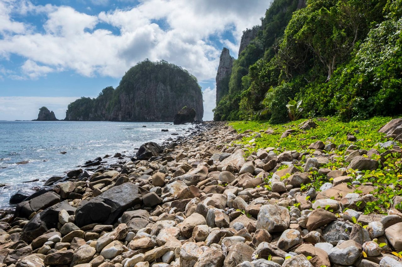
The National Park of American Samoa invites you to discover the vibrant culture and stunning landscapes of the South Pacific. Experience a world unlike any other, where natural beauty and cultural heritage are protected for future generations. Join us in exploring these islands of sacred earth!
NPS.gov3 spots
-
Ofu Beach
A remote white-sand beach with one of the healthiest coral reefs in the park.
-
Mount ʻAlava
A ridge trail on Tutuila through rainforest to views of Pago Pago Harbor.
-
Pola Island
A sea stack off Vatia, home to nesting seabirds.
Place 3
Arches National Park
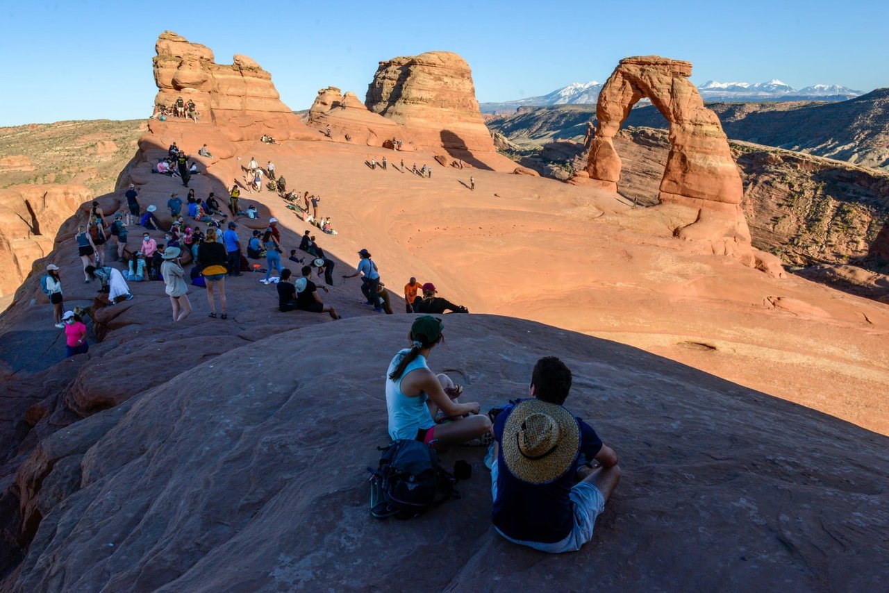
Discover a landscape of contrasting colors, land forms, and textures unlike any other. The park has over 2,000 natural stone arches, hundreds of soaring pinnacles, massive rock fins, and giant balanced rocks. This red-rock wonderland will amaze you with its formations, refresh you with its trails, and inspire you with its sunsets.
NPS.gov3 spots
-
Delicate Arch
The free-standing arch on Utah's license plates, reached by a 3-mile round-trip hike.
-
Landscape Arch
One of the longest natural arches in the world, a thin ribbon of rock spanning about 300 feet.
Place 4
Badlands National Park
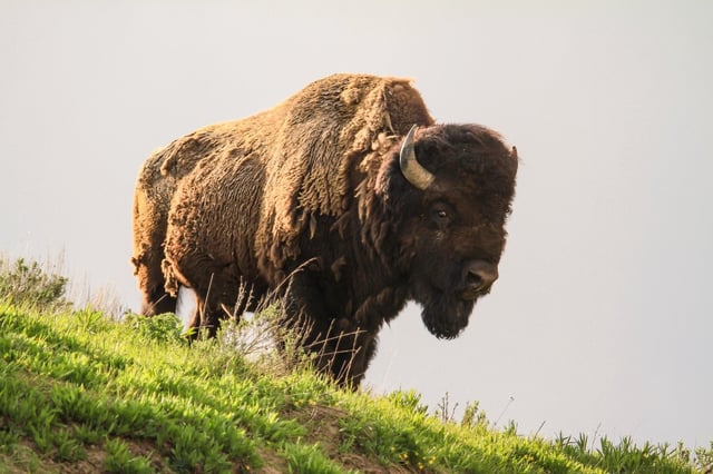
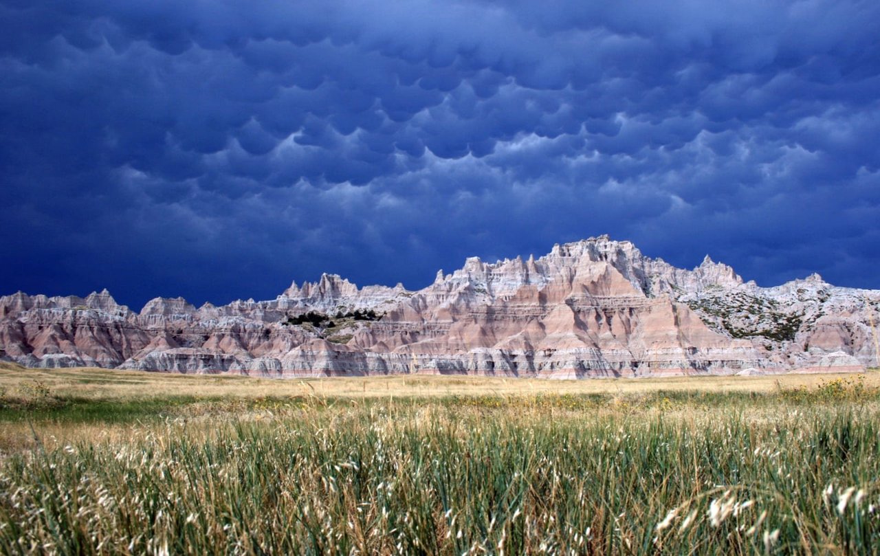
The rugged beauty of the Badlands draws visitors from around the world. These striking geologic deposits contain one of the world’s richest fossil beds. Ancient horses and rhinos once roamed here. The park’s 244,000 acres protect an expanse of mixed-grass prairie where bison, bighorn sheep, prairie dogs, and black-footed ferrets live today.
NPS.gov3 spots
Place 5
Big Bend National Park
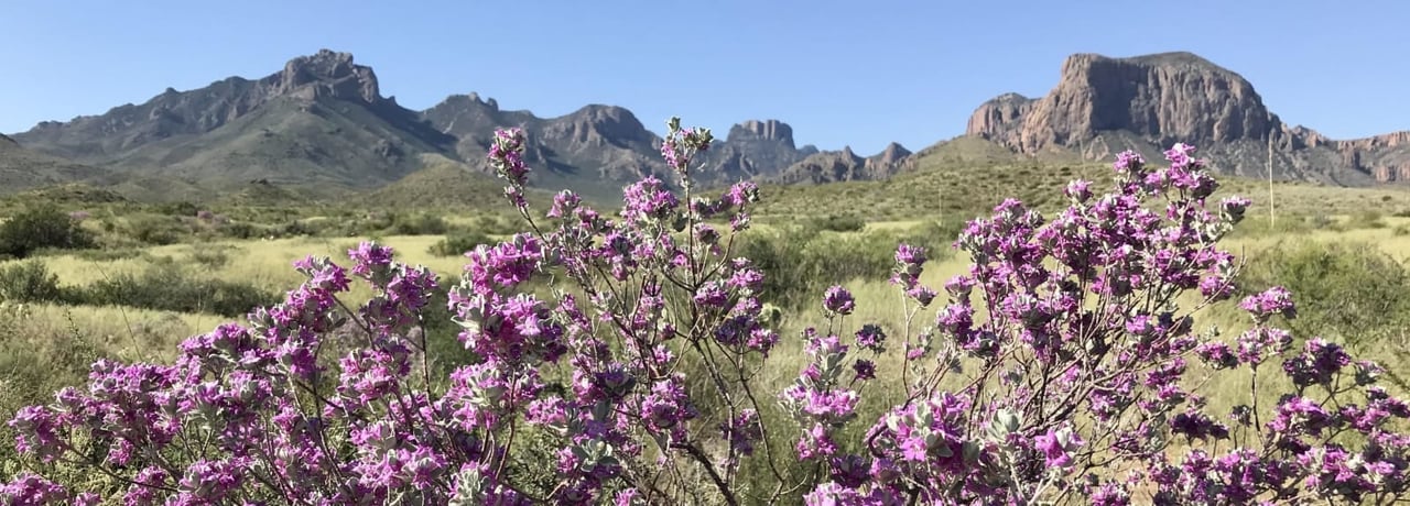
There is a place in Far West Texas where night skies are dark as coal and rivers carve temple-like canyons in ancient limestone. Here, at the end of the road, hundreds of bird species take refuge in a solitary mountain range surrounded by weather-beaten desert. Tenacious cactus bloom in sublime southwestern sun, and species diversity is the best in the country. This magical place is Big Bend...
NPS.gov3 spots
-
Santa Elena Canyon
Limestone walls rise 1,500 feet straight up from the Rio Grande at the mouth of this canyon.
-
The Window
A V-shaped pour-off in the Chisos Mountains that frames the desert below, famous at sunset.
-
Boquillas Canyon
The Rio Grande cuts through the Sierra del Carmen in the longest of Big Bend's canyons.
NPS.gov
Place 6
Biscayne National Park
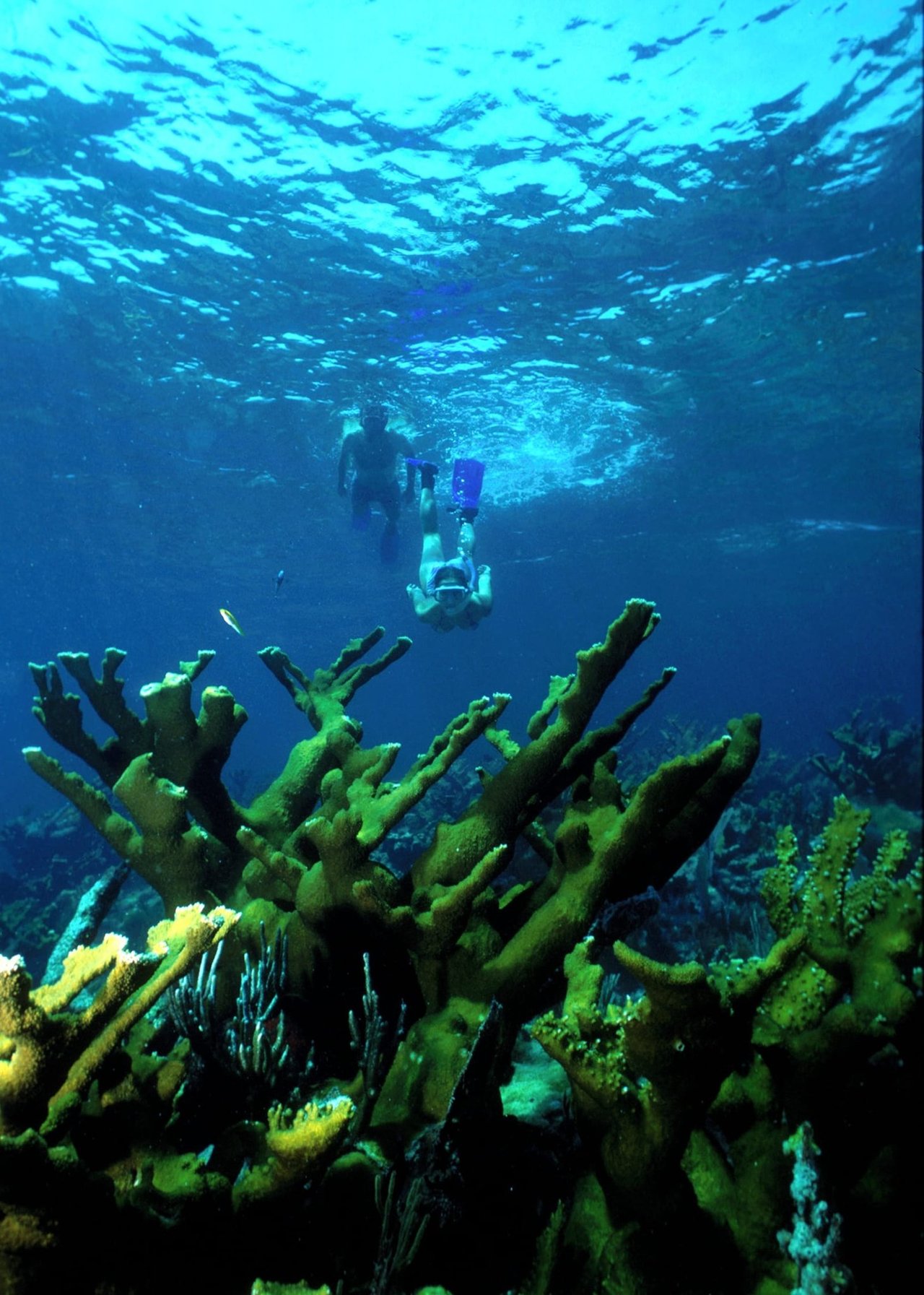
Within sight of Miami, yet worlds away, Biscayne protects a rare combination of aquamarine waters, emerald islands, and fish-bejeweled coral reefs. Evidence of 10,000 years of human history is here too; from prehistoric tribes to shipwrecks, and pineapple farmers to presidents. For many, the park is a boating, fishing, and diving destination, while others enjoy a warm breeze and peaceful scenery.
NPS.gov3 spots
-
Boca Chita Key
A small island with an ornamental 1930s lighthouse and a harbor for visiting boats.
-
Dante Fascell Visitor Center
The park's mainland base at Convoy Point, with views across Biscayne Bay.
-
Stiltsville
A cluster of historic houses built on stilts over the shallow flats of Biscayne Bay.
Place 7
Black Canyon of the Gunnison National Park
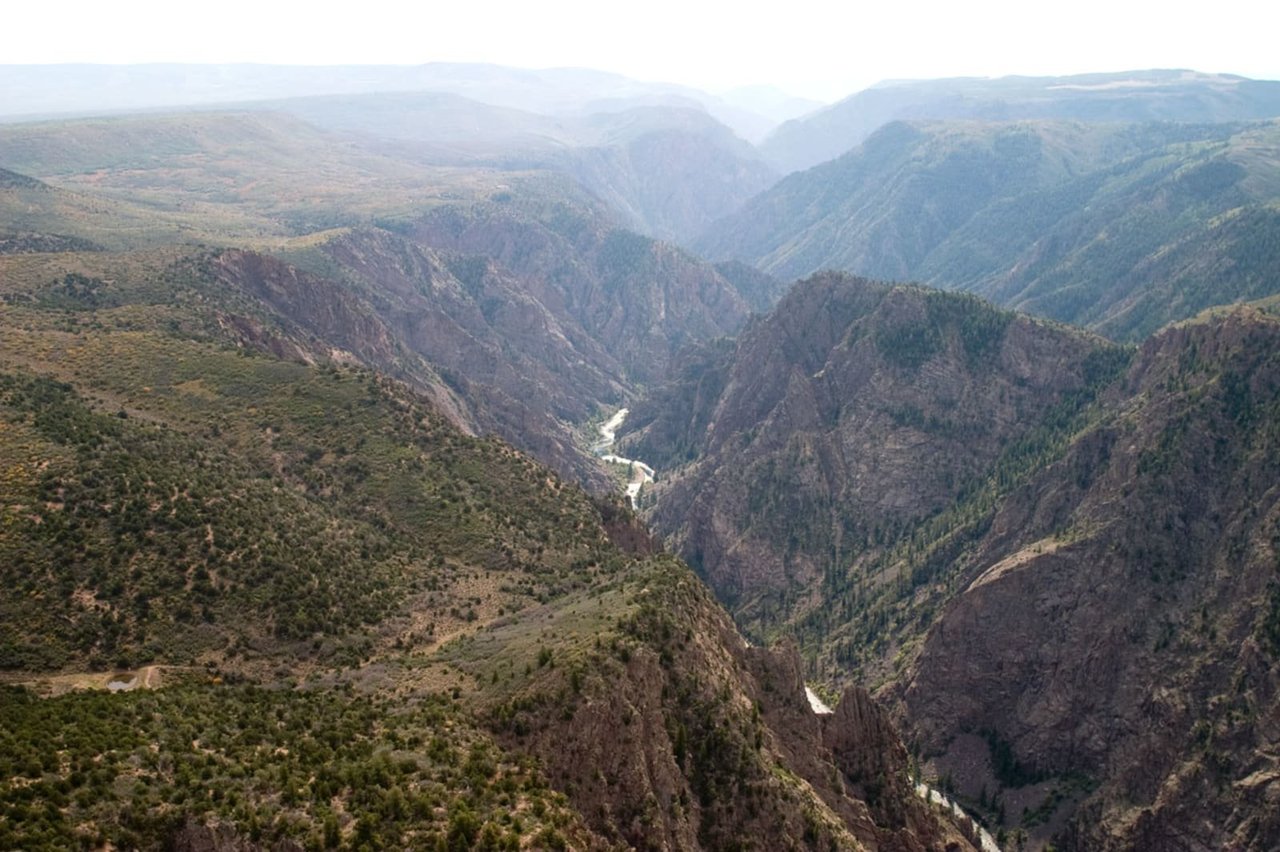
Big enough to be overwhelming, yet still intimate enough to feel the pulse of time. Come see some of the steepest cliffs, oldest rock, and craggiest spires in North America. Forces of nature and the Gunnison River sculpted this canyon over two million years. The result is a vertical wilderness of rock, water, and sky.
NPS.gov3 spots
-
Painted Wall
The tallest cliff in Colorado, its dark rock streaked with pink pegmatite veins.
NPS.gov -
Gunnison Point
An overlook behind the South Rim Visitor Center, straight down into the canyon.
NPS.gov -
Chasm View
Where the canyon is narrowest and deepest, the river roars almost 1,800 feet below.
NPS.gov
Place 8
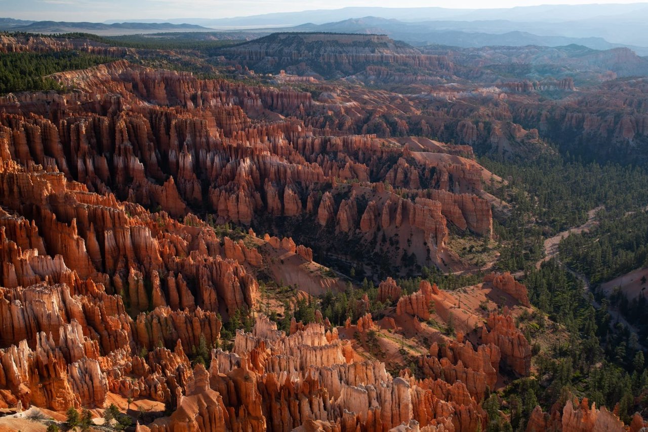
Bryce Canyon National Park
Hoodoos (irregular columns of rock) exist on every continent, but here is the largest concentration found anywhere on Earth. Situated along a high plateau at the top of the Grand Staircase, the park's high elevations include numerous life communities, fantastic dark skies, and geological wonders that defy description.
NPS.gov3 spots
-
Sunset Point
An overlook into the Bryce Amphitheater and the trailhead for the Navajo Loop.
-
Navajo Loop Trail
Switchbacks down through Wall Street and past Thor's Hammer into the hoodoos.
Place 9
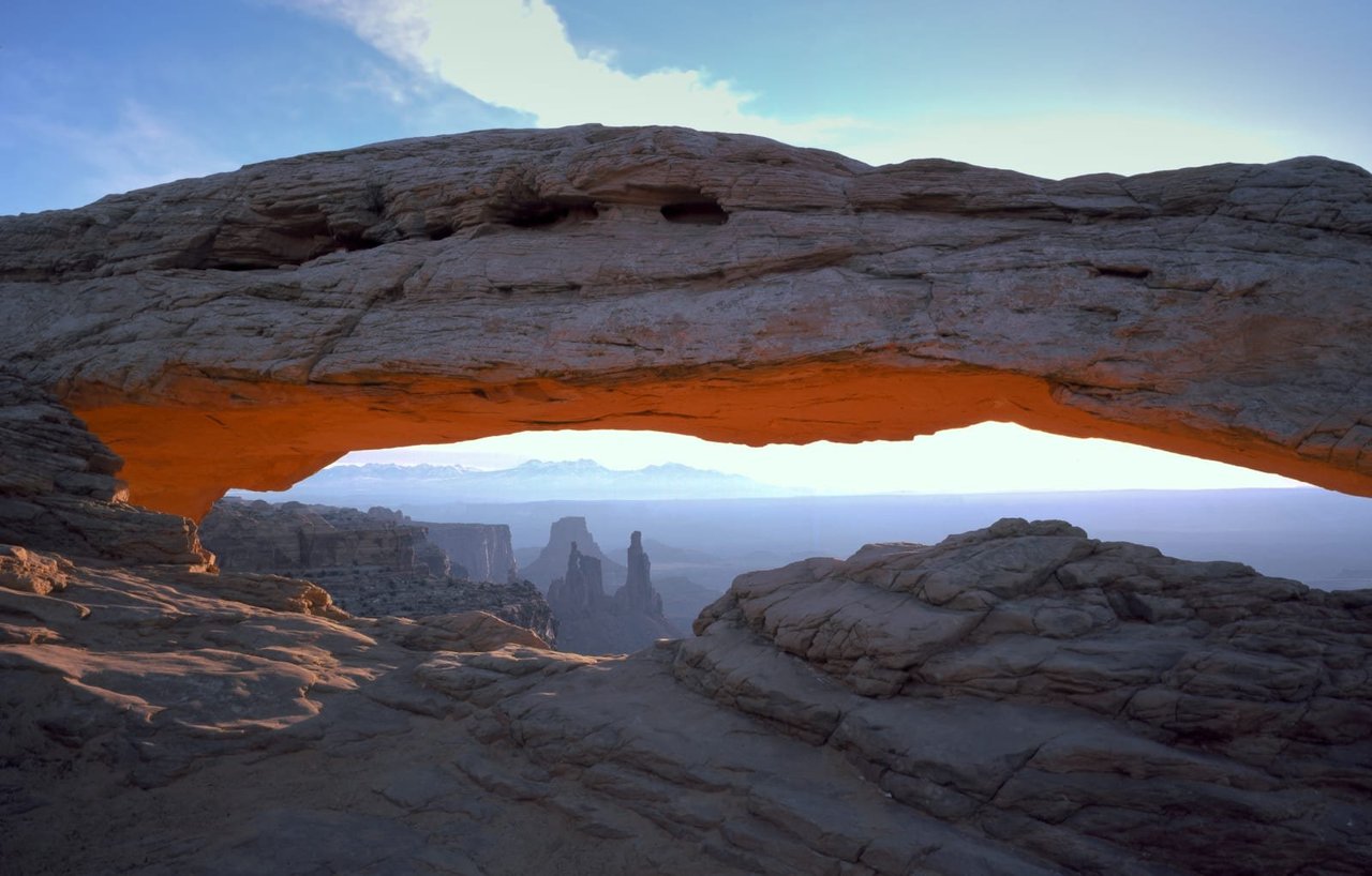
Canyonlands National Park
Canyonlands invites you to explore a wilderness of countless canyons and fantastically formed buttes carved by the Colorado River and its tributaries. Rivers divide the park into four districts: Island in the Sky, The Needles, The Maze, and the rivers themselves. These areas share a primitive desert atmosphere, but each offers different opportunities for sightseeing and adventure.
NPS.gov3 spots
-
Upheaval Dome
A mysterious crater of buckled rock layers, possibly left by a meteorite impact.
Place 10
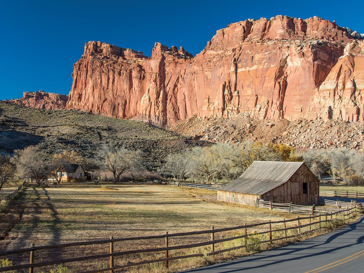
Capitol Reef National Park
Located in south-central Utah in the heart of red rock country, Capitol Reef National Park is a hidden treasure filled with cliffs, canyons, domes, and bridges in the Waterpocket Fold, a geologic monocline (a wrinkle on the earth) extending almost 100 miles.
NPS.gov3 spots
-
Hickman Bridge
A 133-foot natural bridge reached by a short, popular hike.
-
Fruita Historic District
A Mormon pioneer settlement with orchards, a schoolhouse and the Gifford Homestead's pies.
-
Capitol Gorge
A narrow canyon once used as the main road through the reef, with pioneer names carved in the rock.
Place 11
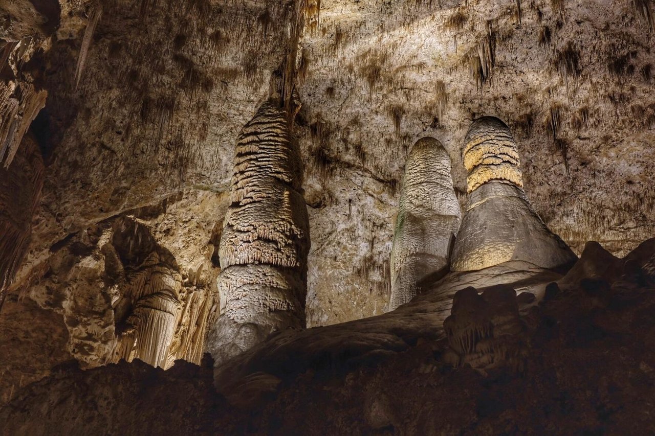
Carlsbad Caverns National Park
High ancient sea ledges, deep rocky canyons, flowering cactus, and desert wildlife—treasures above the ground in the Chihuahuan Desert. Hidden beneath the surface are more than 119 caves—formed when sulfuric acid dissolved limestone leaving behind caverns of all sizes.
NPS.gov3 spots
-
Big Room
The largest single cave chamber in North America by volume, toured on a level 1.25-mile trail.
-
Natural Entrance
A steep switchback trail descending 750 feet from the desert into the cavern.
NPS.gov -
Bat Flight Amphitheater
Watch hundreds of thousands of bats spiral out of the cave at dusk, spring through fall.
Place 12
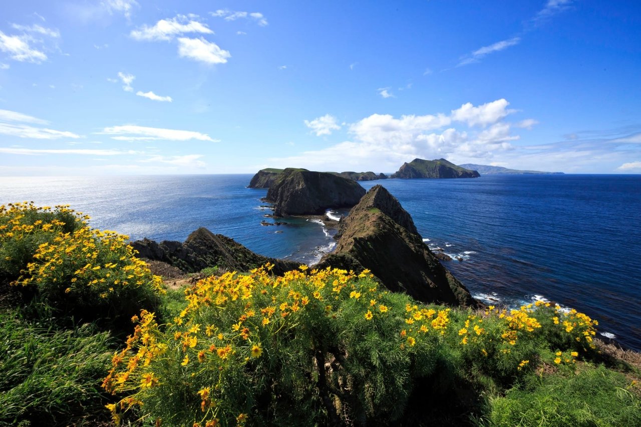
Channel Islands National Park
Channel Islands National Park encompasses five remarkable islands and their ocean environment, preserving and protecting a wealth of natural and cultural resources. Isolation over thousands of years has created unique animals, plants, and archeological resources found nowhere else on Earth and helped preserve a place where visitors can experience coastal southern California as it once was.
NPS.gov3 spots
-
Inspiration Point
A clifftop view down the length of Anacapa Island's chain of islets.
-
Scorpion Anchorage
The main landing on Santa Cruz Island, with sea caves, kayaking and trails.
-
Painted Cave
One of the largest sea caves in the world, on Santa Cruz Island's north shore.
Place 13
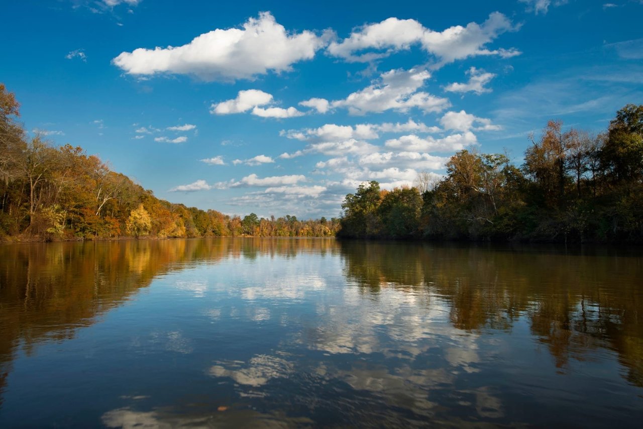
Congaree National Park
Astonishing biodiversity exists in Congaree National Park, the largest intact expanse of old growth bottomland hardwood forest remaining in the southeastern United States. Waters from the Congaree and Wateree Rivers sweep through the floodplain, carrying nutrients and sediments that nourish and rejuvenate this ecosystem and support the growth of national and state champion trees.
NPS.gov3 spots
-
Boardwalk Loop Trail
An elevated boardwalk through one of the tallest old-growth bottomland forests left in the country.
-
Cedar Creek
A paddling trail through cypress and tupelo swamp.
-
Weston Lake
An oxbow lake on the Boardwalk and Weston Lake loops, home to turtles and wading birds.
Place 14
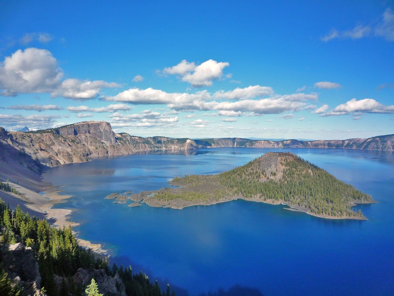
Crater Lake National Park
Crater Lake inspires awe. Native Americans witnessed its formation 7,700 years ago, when a violent eruption triggered the collapse of a tall peak. Scientists marvel at its purity—fed by rain and snow, it’s the deepest lake in the USA and one of the most pristine on Earth. Artists, photographers, and sightseers gaze in wonder at its blue water and stunning setting atop the Cascade Mountain Range.
NPS.gov3 spots
-
Wizard Island
A cinder cone rising from the deepest lake in the United States.
-
Cleetwood Cove Trail
The only legal way down to the shore of Crater Lake, for swimming and boat tours.
Place 15
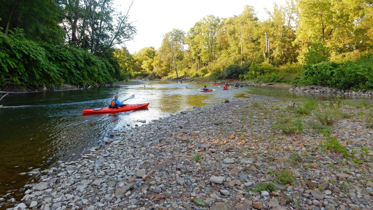
Cuyahoga Valley National Park
Though a short distance from the urban areas of Cleveland and Akron, Cuyahoga Valley National Park seems worlds away. The park is a refuge for native plants and wildlife, and provides routes of discovery for visitors. The winding Cuyahoga River gives way to deep forests, rolling hills, and open farmlands. Walk or ride the Towpath Trail to follow the historic route of the Ohio & Erie Canal.
NPS.gov3 spots
-
Brandywine Falls
A 60-foot waterfall reached by a boardwalk, one of the park's most popular stops.
NPS.gov -
The Ledges
Mossy sandstone cliffs and crevices, with a sunset overlook.
-
Beaver Marsh
A boardwalk across a marsh restored by beavers, along the Towpath Trail.
Place 16
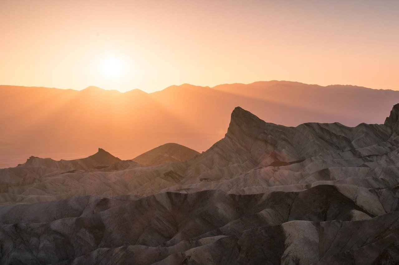
Death Valley National Park
In this below-sea-level basin, steady drought and record summer heat make Death Valley a land of extremes. Yet, each extreme has a striking contrast. Towering peaks are frosted with winter snow. Rare rainstorms bring vast fields of wildflowers. Lush oases harbor tiny fish and refuge for wildlife and humans. Despite its morbid name, a great diversity of life thrives in Death Valley.
NPS.gov3 spots
-
Mesquite Flat Sand Dunes
The park's most accessible dunes, rising about 100 feet near Stovepipe Wells.
NPS.gov
Place 17
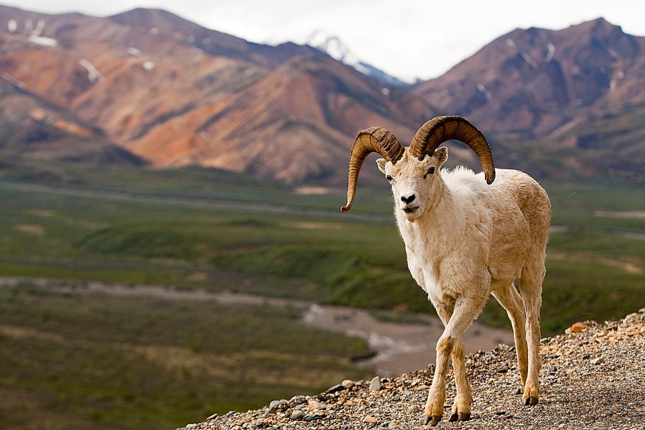
Denali National Park & Preserve
Denali is six million acres of wild land, bisected by one ribbon of road. Travelers along it see the relatively low-elevation taiga forest give way to high alpine tundra and snowy mountains, culminating in North America's tallest peak, 20,310' Mount McKinley. Wild animals large and small roam un-fenced lands, living as they have for ages. Solitude, tranquility and wilderness await.
NPS.gov3 spots
-
Wonder Lake
Near the end of the park road, known for reflections of Denali on clear days.
-
Eielson Visitor Center
Mile 66 of the park road, with some of the best views of North America's tallest peak.
-
Savage River
The farthest point private vehicles can drive, with a loop trail along the river.
NPS.gov
Place 18
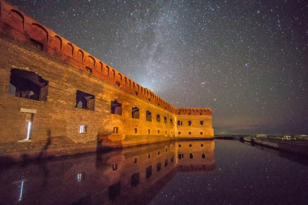
Dry Tortugas National Park
Almost 70 miles (113 km) west of Key West lies the remote Dry Tortugas National Park. This 100-square mile park is mostly open water with seven small islands. Accessible only by boat or seaplane, the park is known the world over as the home of magnificent Fort Jefferson, picturesque blue waters, superlative coral reefs and marine life, and the vast assortment of bird life that frequents the area.
NPS.gov3 spots
-
Loggerhead Key
The largest island in the park, with a 150-foot lighthouse and reef snorkeling.
NPS.gov -
Bush Key
A nesting ground for thousands of sooty terns and brown noddies each spring.
Place 19
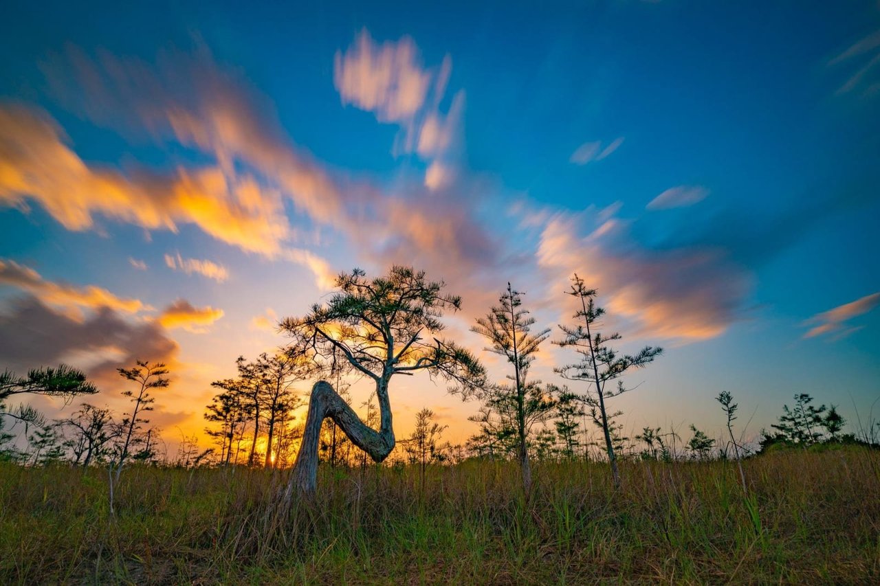
Everglades National Park
Everglades National Park protects an unparalleled landscape that provides important habitat for numerous rare and endangered species like the manatee, American crocodile, and the elusive Florida panther. An international treasure as well - a World Heritage Site, International Biosphere Reserve, a Wetland of International Importance, and a specially protected area under the Cartagena Treaty.
NPS.gov3 spots
-
Anhinga Trail
A short boardwalk where alligators, anhingas and herons are almost guaranteed.
NPS.gov -
Shark Valley
A 15-mile loop by tram or bike to an observation tower above the sawgrass.
-
Flamingo
The southern end of the main road, on Florida Bay, with camping, boating and manatees.
Place 20
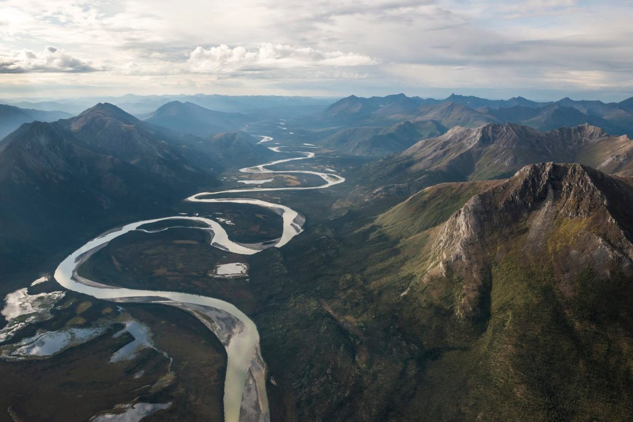
Gates of the Arctic National Park & Preserve
This vast landscape does not contain any roads or trails. Visitors discover intact ecosystems where people have lived with the land for over ten thousand years. Wild rivers meander through glacier-carved valleys, caribou migrate along age-old trails, endless summer light fades into aurora-lit night skies of winter. Virtually unchanged, except by the forces of nature.
NPS.gov3 spots
-
Arrigetch Peaks
Granite spires in the Brooks Range whose name means 'fingers of the outstretched hand'.
NPS.gov -
Frigid Crags
With Boreal Mountain across the valley, the 'gates' that gave the park its name.
-
Anaktuvuk Pass
A Nunamiut village in the heart of the Brooks Range, and a jumping-off point into the park.
NPS.gov
Place 21
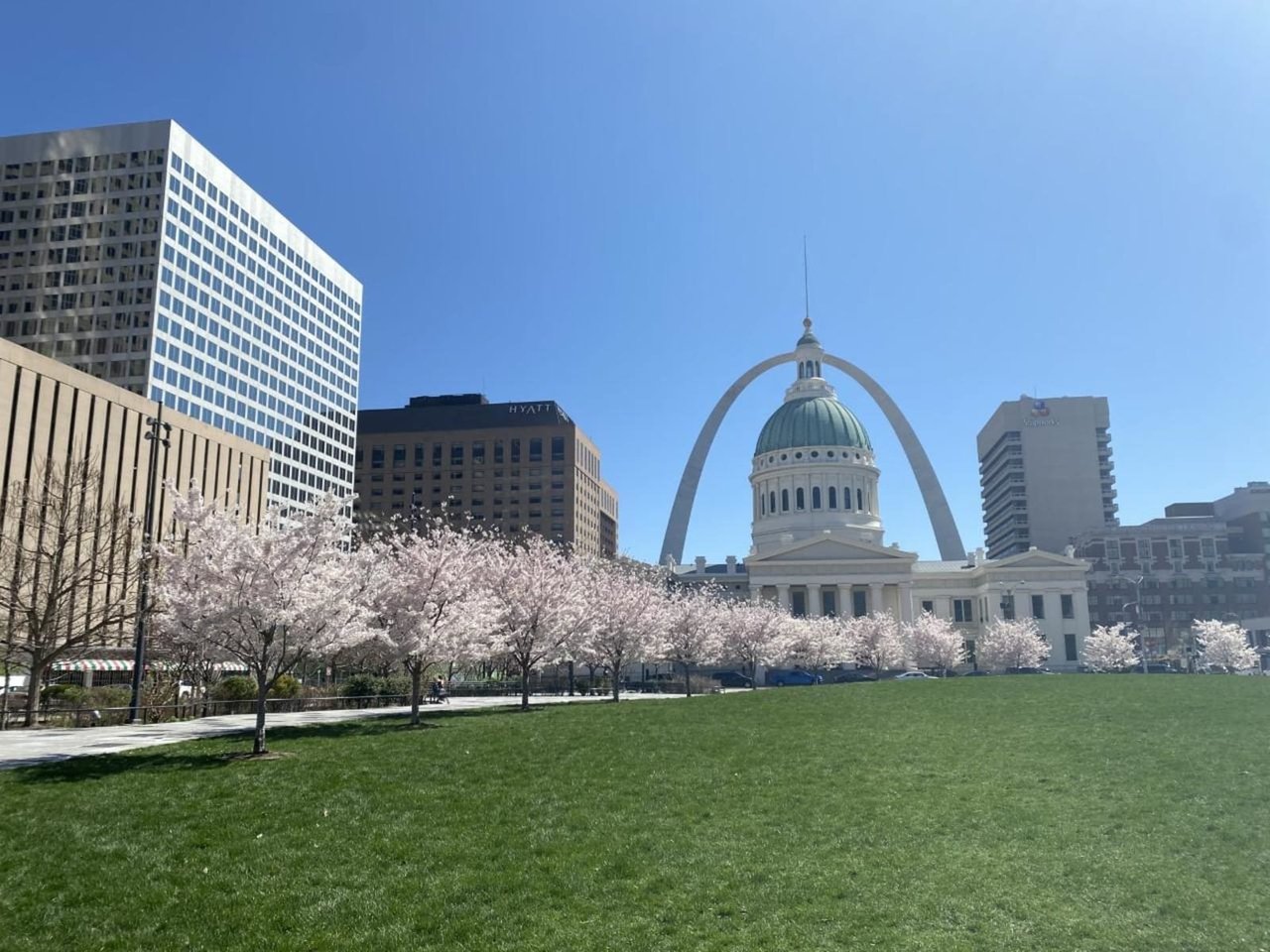
Gateway Arch National Park
Gateway Arch National Park commemorates President Jefferson’s vision of a continental nation, the individuals and cultural groups who helped shape its history, St. Louis’ role in westward expansion, and Dred and Harriet Scott, who sued for their freedom in the Old Courthouse.
NPS.gov2 spots
Place 22
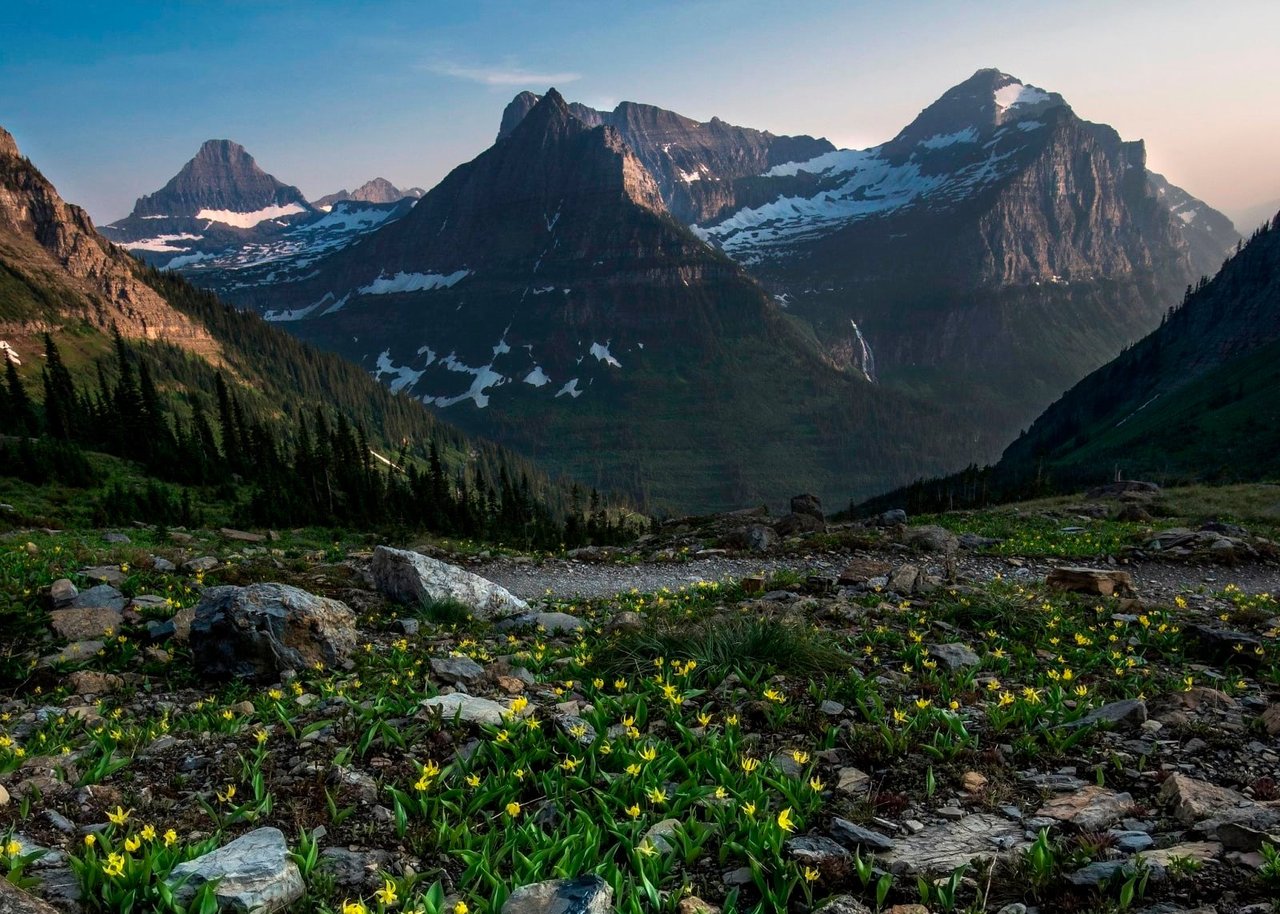
Glacier National Park
A showcase of melting glaciers, alpine meadows, carved valleys, and spectacular lakes. With over 700 miles of trails, Glacier is a paradise for adventurous visitors seeking a landscape steeped in human culture. Relive the days of old through historic chalets, lodges, and the famous Going-to-the-Sun Road.
NPS.gov3 spots
-
Logan Pass
The high point of Going-to-the-Sun Road on the Continental Divide, and the start of the Hidden Lake trail.
NPS.gov -
Lake McDonald
The park's largest lake, famous for its colorful stones.
-
Grinnell Glacier
A hike past turquoise lakes in Many Glacier to one of the park's remaining glaciers.
Place 23
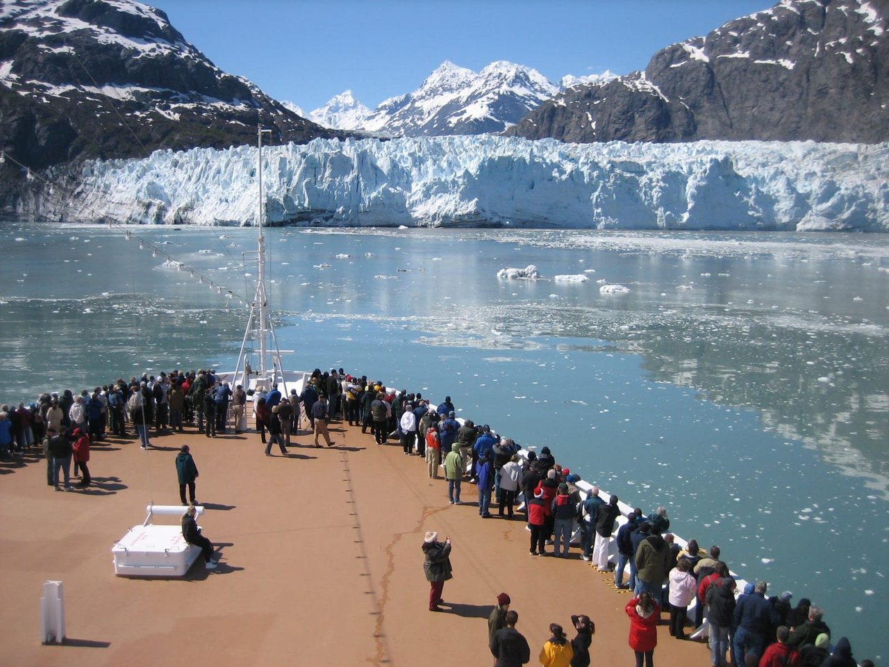
Glacier Bay National Park & Preserve
Covering 3.3 million acres of rugged mountains, dynamic glaciers, temperate rainforest, wild coastlines and deep sheltered fjords, Glacier Bay National Park and Preserve is known as Homeland to the Huna and Yakutat Łingít, and is a highlight of Alaska's Inside Passage. From sea to summit, Glacier Bay offers limitless opportunities for adventure and inspiration.
NPS.gov3 spots
-
Margerie Glacier
A tidewater glacier at the head of Tarr Inlet where ice regularly calves into the sea.
-
Bartlett Cove
The park's only developed area, with the lodge, visitor center and a Huna Tlingit tribal house.
NPS.gov
Place 24
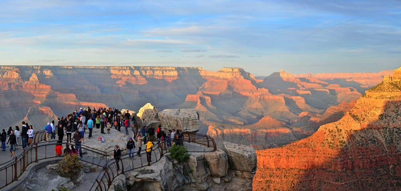
Grand Canyon National Park
Entirely within the state of Arizona, the park encompasses 278 miles (447 km) of the Colorado River and adjacent uplands. Located on the ancestral homelands of 11 present day Tribal Communities, Grand Canyon is one of the most spectacular examples of erosion anywhere in the world—a mile deep canyon unmatched in the incomparable vistas it offers visitors from both north and south rims.
NPS.gov3 spots
-
Mather Point
For many visitors, the first view of the canyon from the South Rim.
-
Bright Angel Trail
The classic corridor trail from Grand Canyon Village toward the Colorado River.
NPS.gov
Place 25
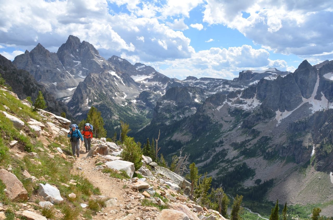
Grand Teton National Park
Soaring over a landscape rich with wildlife, pristine lakes, and majestic alpine vistas, the Teton Range stands as a testament to generations of stewards. For over 11,000 years, communities have thrived in the valley known as Jackson Hole, turning these mountains into more than just peaks—they embody imagination and enduring human connection.
NPS.gov3 spots
-
Jenny Lake
A glacial lake at the foot of the Tetons, with a boat shuttle to Hidden Falls and Inspiration Point.
-
Mormon Row
Historic homestead barns with the Tetons behind, among the most photographed scenes in the West.
-
Oxbow Bend
A slow bend of the Snake River reflecting Mount Moran, good for spotting moose.
Place 26
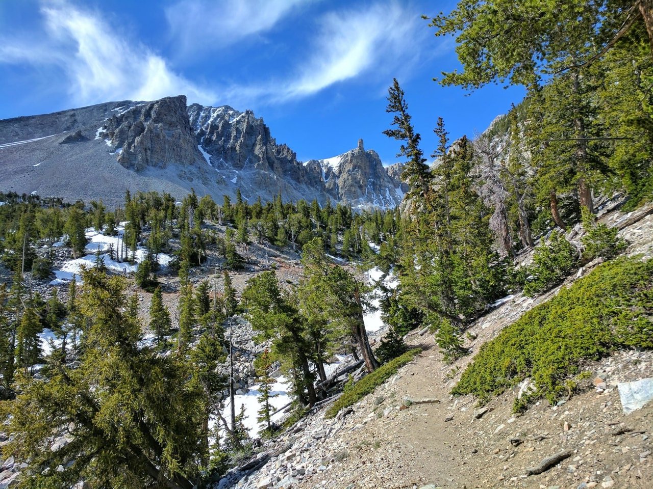
Great Basin National Park
From the 13,063-foot summit of Wheeler Peak to the sagebrush-covered foothills, Great Basin National Park hosts a sample of the incredible diversity of the larger Great Basin region. Come and partake of the solitude of the wilderness, walk among ancient bristlecone pines, bask in the darkest of night skies, and explore mysterious subterranean passages. There's a lot more than just desert here.
NPS.gov3 spots
-
Bristlecone Pine Grove
Ancient bristlecone pines, some thousands of years old, below Wheeler Peak.
Place 27
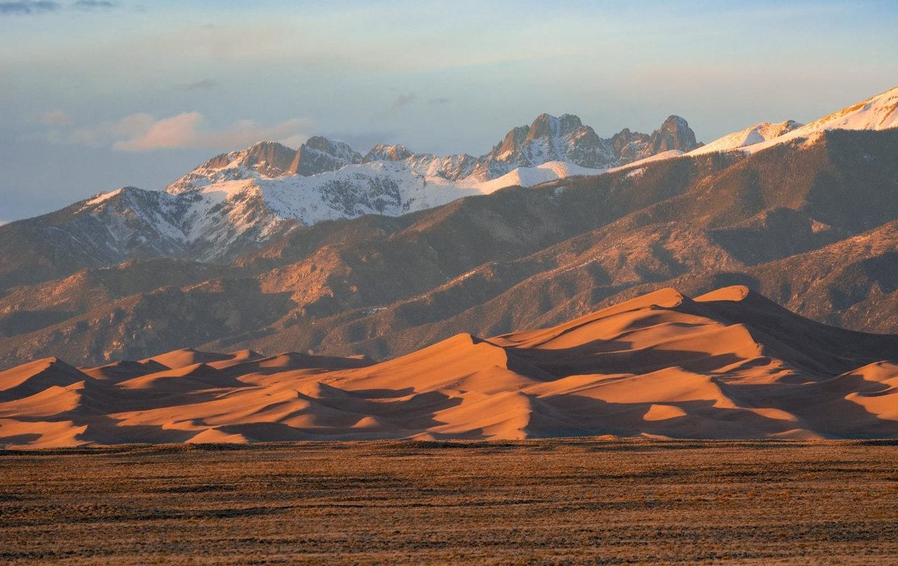
Great Sand Dunes National Park & Preserve
Open 24/7 year round! There are no timed entries or reservations to visit. The tallest dunes in North America are the centerpiece in a diverse landscape of grasslands, wetlands, forests, alpine lakes, and tundra. Stay on a moonless night to experience countless stars in this International Dark Sky Park!
NPS.gov3 spots
Place 28
Great Smoky Mountains National Park
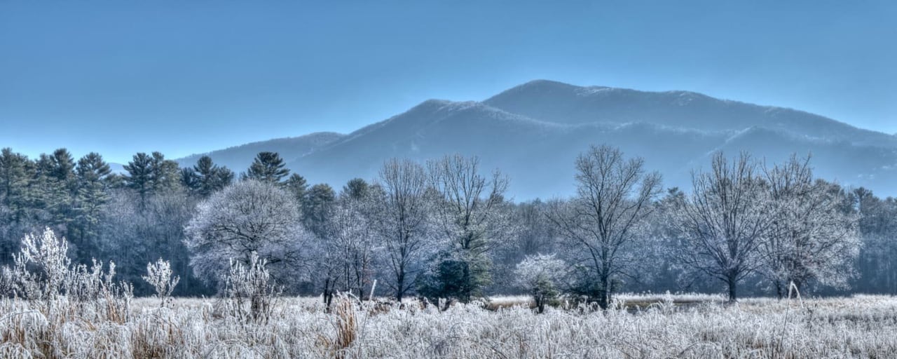
Ridge upon ridge of forest straddles the border between North Carolina and Tennessee in Great Smoky Mountains National Park. World renowned for its diversity of plant and animal life, the beauty of its ancient mountains, and the quality of its remnants of Southern Appalachian mountain culture, this is America's most visited national park. Plan your visit today!
NPS.gov3 spots
-
Clingmans Dome
The highest point in the Smokies, with an observation tower above the clouds.
-
Cades Cove
A valley loop road past historic cabins, churches and plenty of wildlife.
Place 29
Guadalupe Mountains National Park
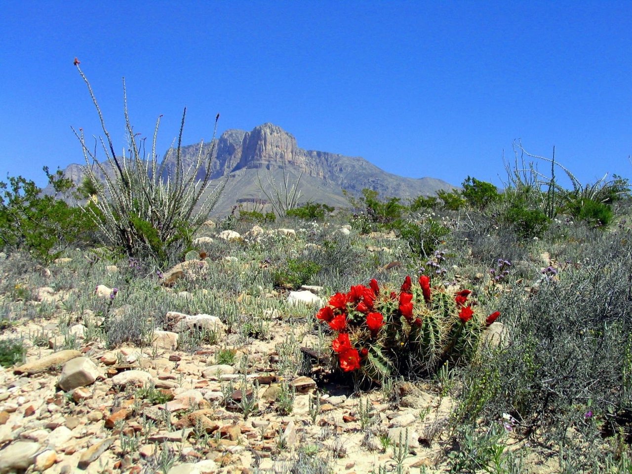
Come experience mountains and canyons, desert and dunes, night skies and spectacular vistas within a place unlike any other. Guadalupe Mountains National Park protects the world's most extensive Permian fossil reef, the four highest peaks in Texas, an environmentally diverse collection of flora and fauna, and the stories of lives shaped through conflict, cooperation and survival.
NPS.gov3 spots
-
El Capitan
The sheer limestone cliff that marks the southern end of the Guadalupe Mountains.
NPS.gov
Place 30
Haleakalā National Park
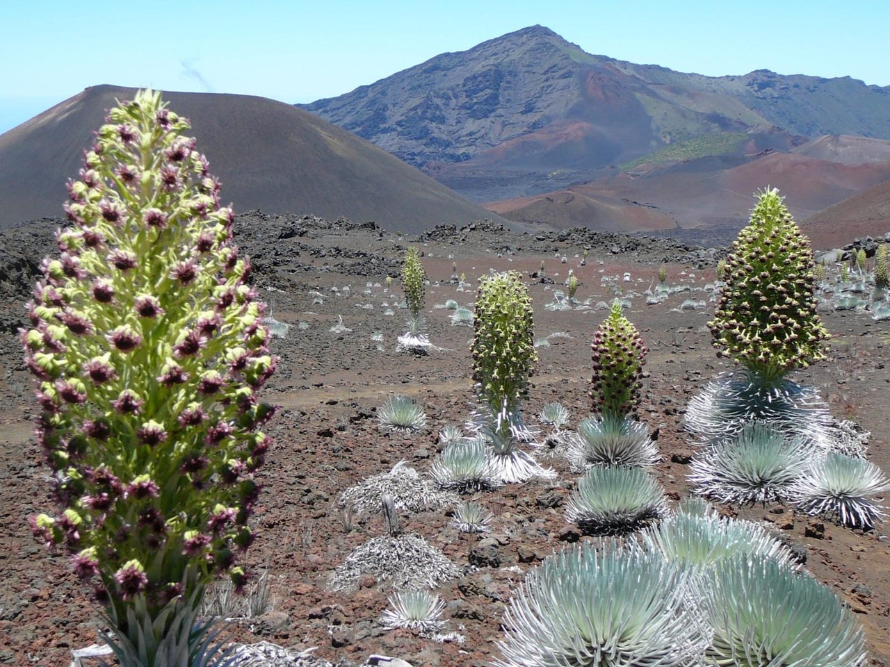
This special place vibrates with stories of ancient and modern Hawaiian culture and protects the bond between the land and its people. The park also cares for endangered species, some of which exist nowhere else. Come visit this special place - renew your spirit amid stark volcanic landscapes and sub-tropical rain forest with an unforgettable hike through the backcountry.
NPS.gov3 spots
-
Puʻu ʻUlaʻula Summit
The 10,023-foot summit of Haleakalā, famous for sunrise above the clouds.
NPS.gov -
Sliding Sands Trail
Keoneheʻeheʻe trail descends from the summit into the volcano's colorful crater.
NPS.gov -
Pīpīwai Trail
A coastal-district trail through a bamboo forest to 400-foot Waimoku Falls.
Place 31
Hawaiʻi Volcanoes National Park
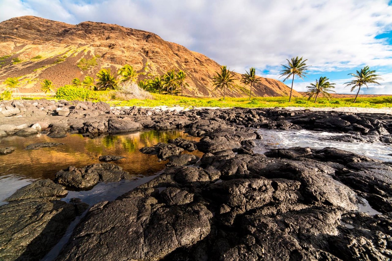
Hawai‘i Volcanoes National Park protects some of the most unique geological, biological, and cherished cultural landscapes in the world. Extending from sea level to 13,680 feet, the park encompasses the summits of two of the world's most active volcanoes - Kīlauea and Mauna Loa - and is a designated International Biosphere Reserve and UNESCO World Heritage Site.
NPS.gov3 spots
-
Kīlauea Overlook
A view into Kaluapele, the summit caldera of Kīlauea, and the Halemaʻumaʻu crater.
NPS.gov
Place 32
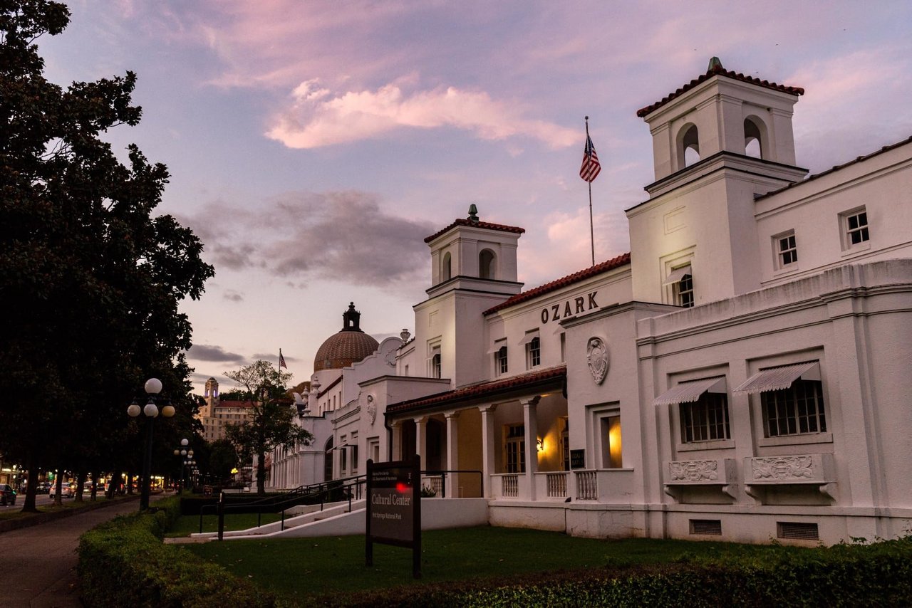
Hot Springs National Park
Hot Springs National Park has a rich cultural past. The grand architecture of our historic bathhouses is equally matched by the natural curiosities that have been drawing people here for hundreds of years. Ancient thermal springs, mountain views, incredible geology, forested hikes, and abundant creeks – all in the middle of town – make Hot Springs National Park a unique and beautiful destination.
NPS.gov3 spots
-
Bathhouse Row
Eight historic bathhouses lining Central Avenue, two still offering thermal baths.
Place 33
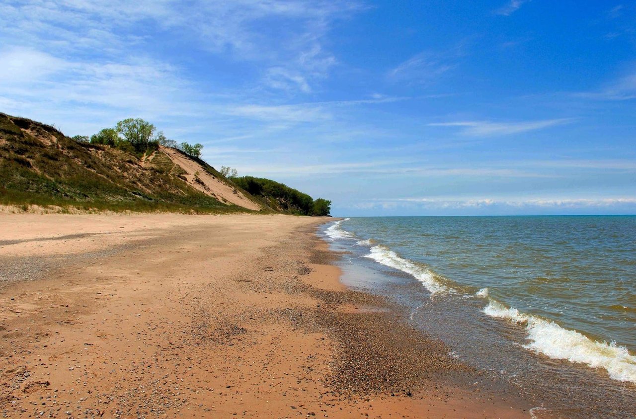
Indiana Dunes National Park
Lake Michigan's might has influenced Indiana Dunes for millennia. Wind and waves have shaped the land, leaving a rich mosaic of habitats along these 15 miles of Indiana coast. Over 50 miles of trails lead through shifting sand dunes, quiet woodlands, sunny prairies and lush wetlands. Known for its striking plant and bird diversity, it's easy to find inspiration throughout the park’s 15,000 acres.
NPS.gov3 spots
-
Mount Baldy
A 126-foot moving dune that drifts several feet inland each year.
Place 34
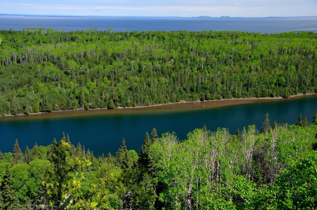
Isle Royale National Park
Explore a rugged, isolated island far from our connected communities. Isle Royale offers adventures for backpackers, hikers, boaters, paddlers, and divers. Cross Lake Superior and make a commitment: Become a part of this island, and let it become a part of you. Find peace and refuge in island wilderness – because Isle Royale, in turn, finds refuge in us. Help Isle Royale stay wild.
NPS.gov3 spots
-
Windigo
The western gateway to the island, at the head of Washington Harbor.
-
Scoville Point
A rocky point at the end of a popular loop trail from Rock Harbor.
Place 35
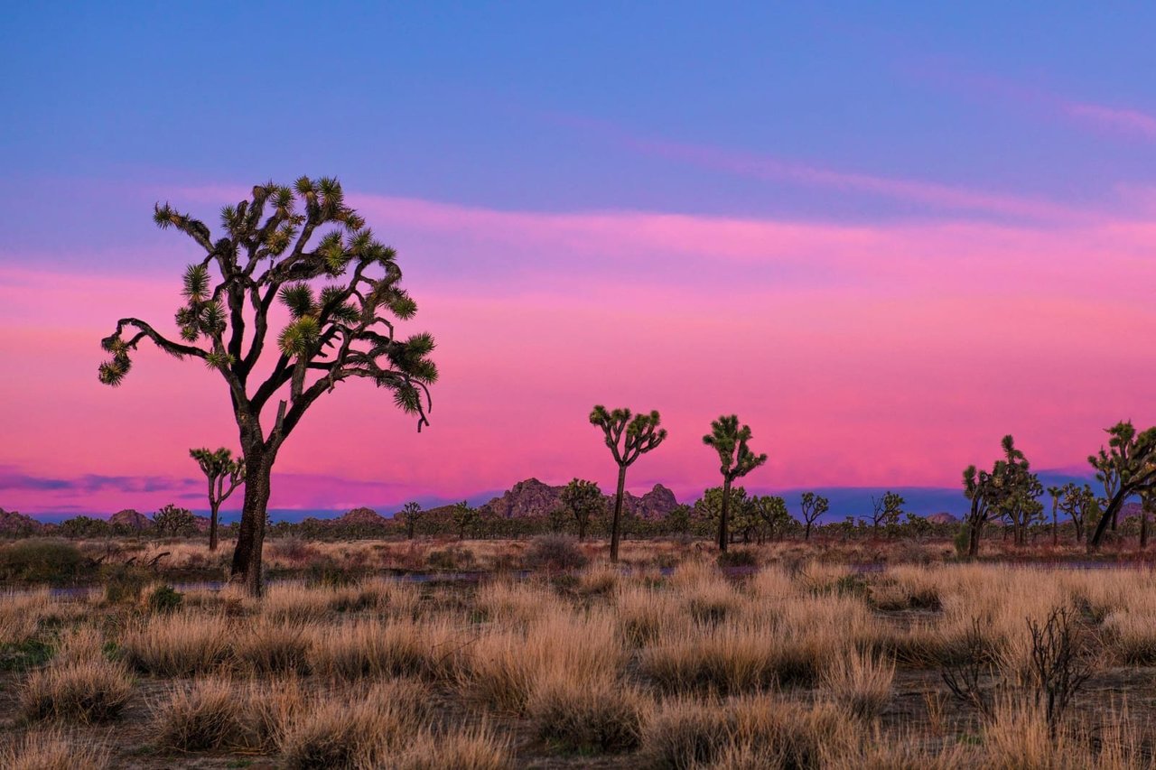
Joshua Tree National Park
Two distinct desert ecosystems, the Mojave and the Colorado, come together in Joshua Tree National Park. A fascinating variety of plants and animals make their homes in a land sculpted by strong winds and occasional torrents of rain. Dark night skies, a rich cultural history, and surreal geologic features add to the wonder of this vast wilderness in southern California. Come explore for yourself!
NPS.gov3 spots
-
Keys View
A mountain overlook across the Coachella Valley to the San Andreas Fault.
-
Skull Rock
A granite boulder weathered into the shape of a skull.
Place 36
Katmai National Park & Preserve
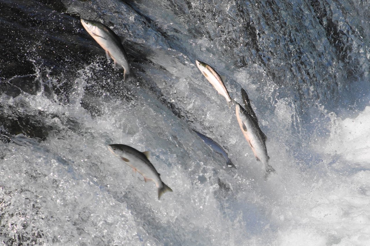
A landscape is alive underneath our feet, filled with creatures that remind us what it is to be wild. Katmai was established in 1918 to protect the volcanically devastated region surrounding Novarupta and the Valley of Ten Thousand Smokes. Today, Katmai National Park and Preserve also protects 9,000 years of human history and important habitat for salmon and thousands of brown bears.
NPS.gov2 spots
-
Brooks Falls
Where brown bears catch leaping salmon each July and September.
-
Valley of Ten Thousand Smokes
An ash-filled valley left by the 1912 Novarupta eruption, the largest of the 20th century.
Place 37
Kenai Fjords National Park
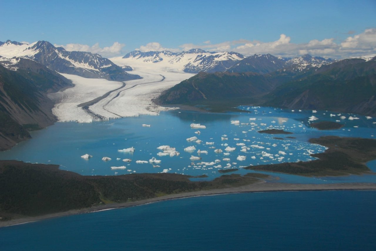
At the edge of the Kenai Peninsula lies a land where the ice age lingers. Nearly 40 glaciers flow from the Harding Icefield, Kenai Fjords' crowning feature. Wildlife thrives in icy waters and lush forests along the fjords once carved by the vast expanse of ice. Today, shrinking glaciers bear witness to the effects of our changing climate.
NPS.gov3 spots
-
Harding Icefield
A strenuous trail climbs to a view of the 700-square-mile icefield.
-
Aialik Glacier
A tidewater glacier seen on boat tours from Seward.
Place 38
Kobuk Valley National Park
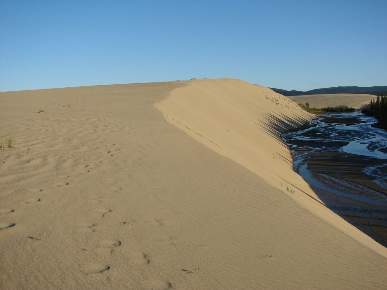
Caribou, sand dunes, the Kobuk River, Onion Portage - just some of the facets of Kobuk Valley National Park. Thousands of caribou migrate through, their tracks crisscrossing sculpted dunes. The Kobuk River is an ancient and current corridor for people and wildlife. For 9000 years, people came to Onion Portage to harvest caribou as they swam the river. Even today, that rich tradition continues.
NPS.gov2 spots
-
Great Kobuk Sand Dunes
Arctic sand dunes rising up to 100 feet, an unexpected desert north of the Arctic Circle.
NPS.gov -
Onion Portage
A river crossing where people have hunted migrating caribou for thousands of years.
Place 39
Lake Clark National Park & Preserve
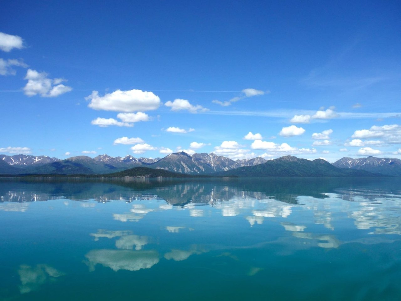
Lake Clark National Park and Preserve is a land of stunning beauty. Volcanoes steam, salmon run, bears forage, and craggy mountains reflect in shimmering turquoise lakes. Here, too, local people and culture still depend on the land and water. Venture into the park to become part of the wilderness.
NPS.gov2 spots
-
Proenneke's Cabin
Richard Proenneke's hand-built cabin on Twin Lakes, made famous by 'Alone in the Wilderness'.
Place 40
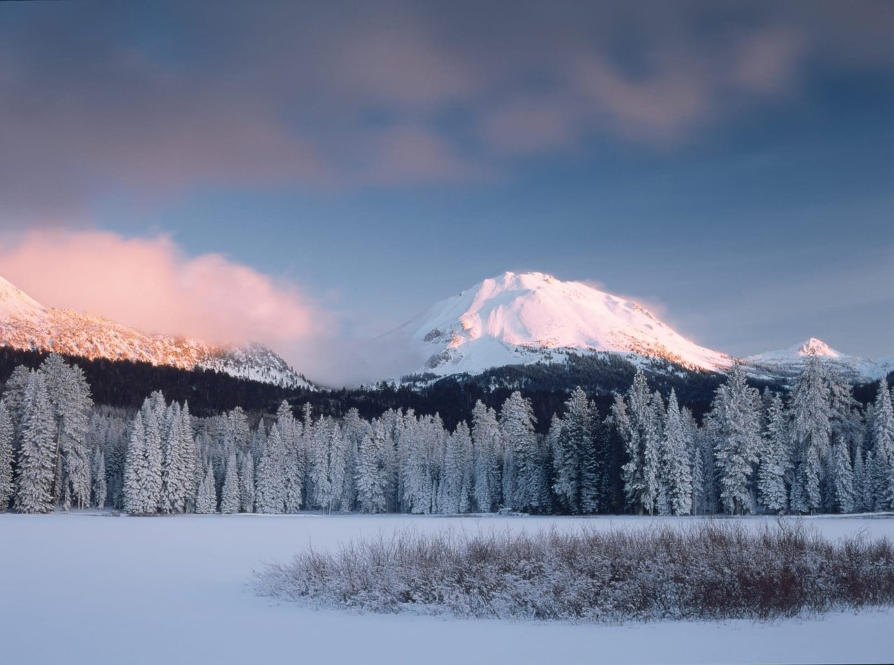
Lassen Volcanic National Park
Lassen Volcanic National Park is home to steaming fumaroles, meadows freckled with wildflowers, clear mountain lakes, and numerous volcanoes. Jagged peaks tell the story of its eruptive past while hot water continues to shape the land.
NPS.gov3 spots
-
Lassen Peak
A 10,457-foot volcano that last erupted from 1914 to 1917.
-
Bumpass Hell
The park's largest hydrothermal area, with boiling pools and fumaroles.
Place 41
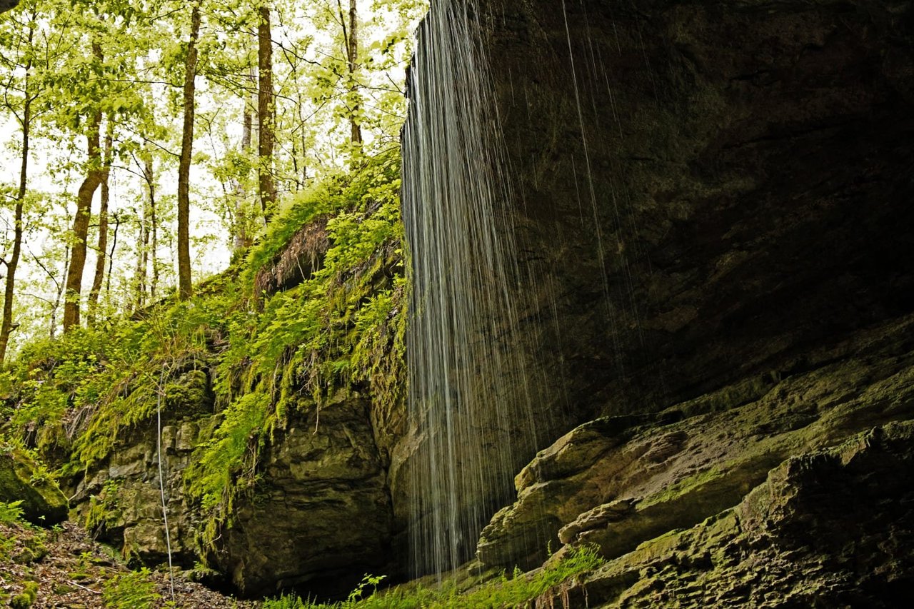
Mammoth Cave National Park
Rolling hills, deep river valleys, and the world's longest known cave system. Mammoth Cave National Park is home to thousands of years of human history and a rich diversity of plant and animal life, earning it the title of UNESCO World Heritage Site and International Biosphere Region.
NPS.gov3 spots
-
Historic Entrance
The cave opening used by explorers and tour groups for more than 200 years.
NPS.gov -
Frozen Niagara
A cascade of flowstone, one of the cave's most famous formations.
Place 42
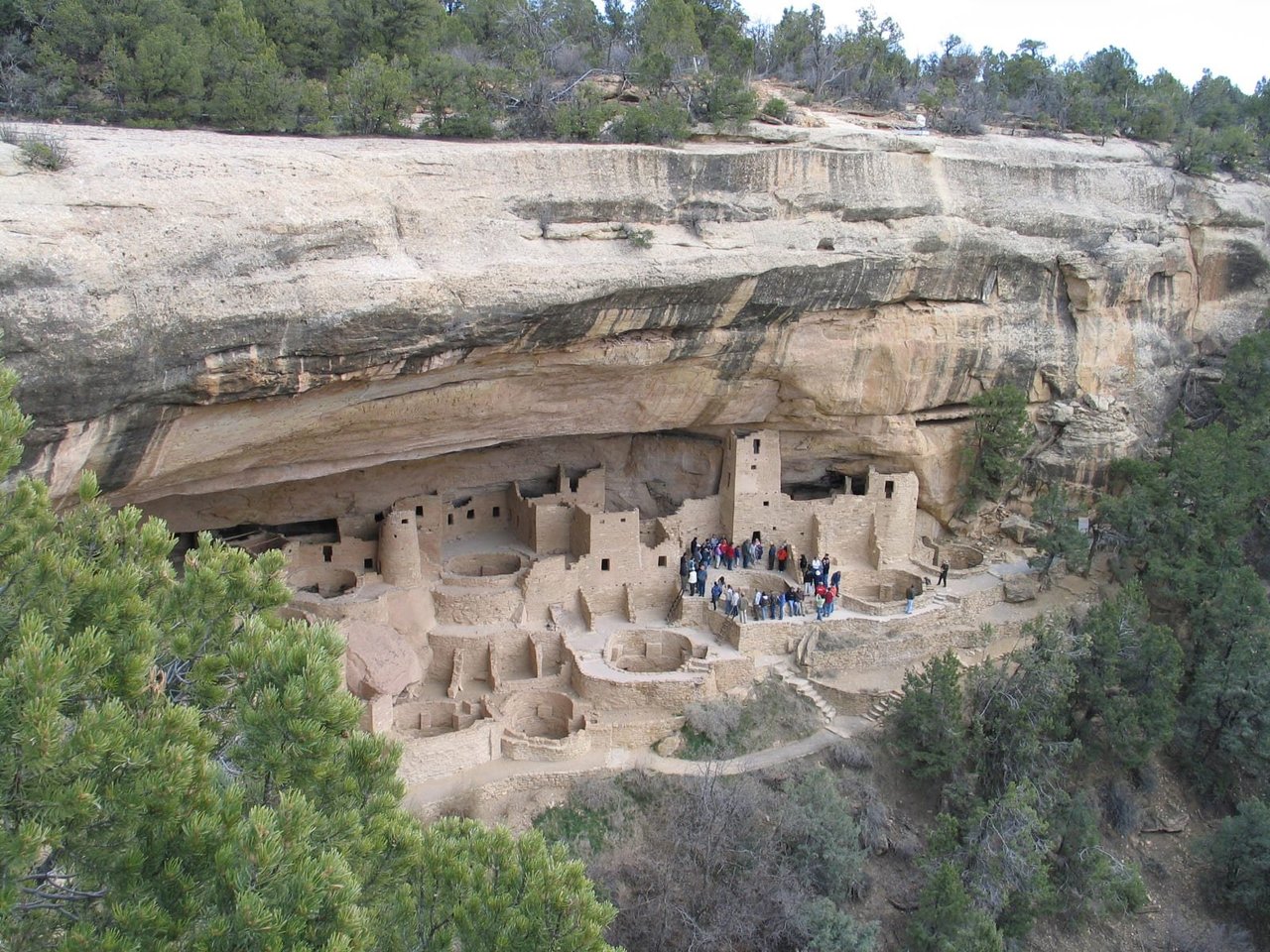
Mesa Verde National Park
For over 700 years, the Ancestral Pueblo people built thriving communities on the mesas and in the cliffs of Mesa Verde. Today, the park protects the rich cultural heritage of 27 Pueblos and Tribes and offers visitors a spectacular window into the past. This World Heritage Site and International Dark Sky Park is home to over a thousand species, including several that live nowhere else on earth.
NPS.gov3 spots
-
Balcony House
A cliff dwelling toured by climbing ladders and crawling through a tunnel.
-
Spruce Tree House
One of the best-preserved cliff dwellings, seen from an overlook near the museum.
NPS.gov
Place 43
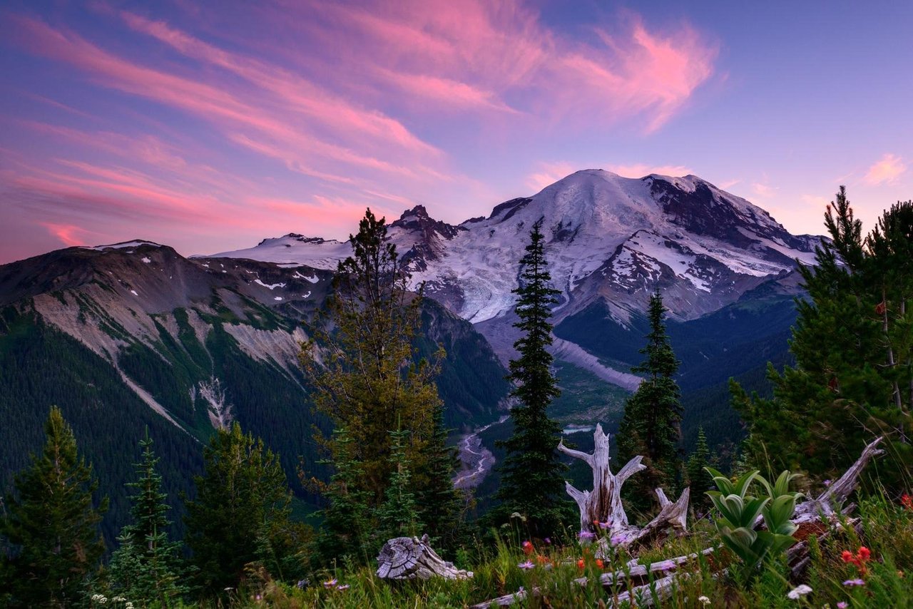
Mount Rainier National Park
Ascending to 14,410 feet above sea level, Mount Rainier stands as an icon in the Washington landscape. An active volcano, Mount Rainier is the most glaciated peak in the contiguous U.S.A., spawning five major rivers. Subalpine wildflower meadows ring the icy volcano while ancient forest cloaks Mount Rainier’s lower slopes. Wildlife abounds in the park’s ecosystems. A lifetime of discovery awaits.
NPS.gov3 spots
-
Paradise
Wildflower meadows on the mountain's south slope and the start of the Skyline Trail.
-
Sunrise
The highest point in the park reachable by car, facing the Emmons Glacier.
-
Reflection Lakes
Subalpine lakes that mirror Mount Rainier on calm days.
Place 44
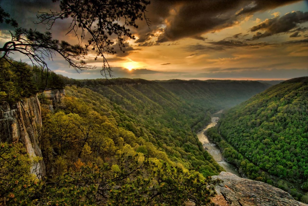
New River Gorge National Park & Preserve
A rugged, whitewater river flowing northward through deep canyons, the New River is among the oldest rivers on the continent. The park encompasses over 70,000 acres of land along the New River, is rich in cultural and natural history, and offers an abundance of scenic and recreational opportunities.
NPS.gov3 spots
-
New River Gorge Bridge
One of the longest single-span arch bridges in the world, 876 feet above the river.
-
Long Point
A short hike to a rock outcrop with the classic view of the bridge.
Place 45
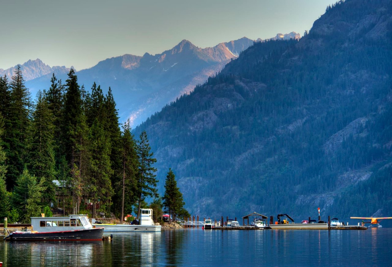
North Cascades National Park
Less than three hours from Seattle, an alpine landscape beckons. Discover communities of life adapted to moisture in the west and recurring fire in the east. Explore jagged peaks crowned by more than 300 glaciers. Listen to cascading waters in forested valleys. Witness a landscape sensitive to the Earth's changing climate. Help steward the ecological heart of the Cascades.
NPS.gov3 spots
Place 46
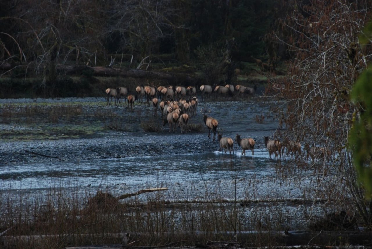
Olympic National Park
With its incredible range of precipitation and elevation, diversity is the hallmark of Olympic National Park. Encompassing nearly a million acres, the park protects a vast wilderness, thousands of years of human history, and several distinctly different ecosystems, including glacier-capped mountains, old-growth temperate rain forests, and over 70 miles of wild coastline. Come explore!
NPS.gov3 spots
-
Hoh Rain Forest
One of the largest temperate rainforests in the U.S., draped in moss.
-
Ruby Beach
A wild Pacific beach with sea stacks and driftwood.
Place 47
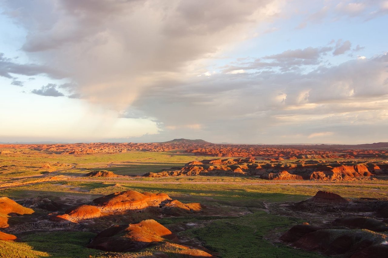
Petrified Forest National Park
Park Hours: 8am to 5pm, MST. Don't forget that Arizona does not observe Daylight Savings. Petrified Forest is best known for its Triassic fossils. It's like having two parks in one, an ecosystem over 200 million years old with plants and animals now represented in the surreal landscape of the Painted Desert. There is also a living park with its own denizens adapted to a demanding environment.
NPS.gov3 spots
Place 48
Pinnacles National Park
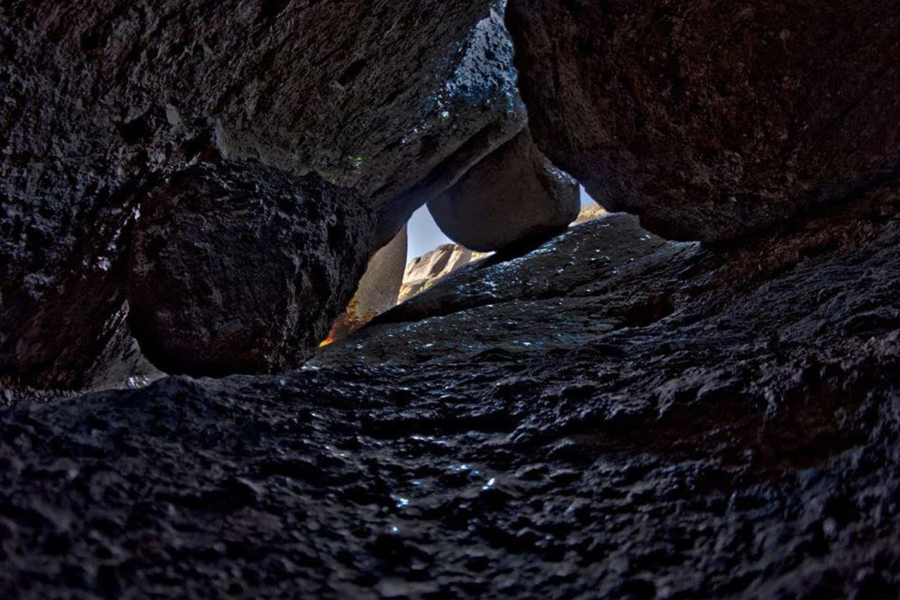
Around 23 million years ago, a series of volcanic eruptions shaped the landscape that is now Pinnacles National Park. The remnants of these ancient eruptions have formed a striking terrain of rocky spires and deep canyons. Visitors can explore diverse environments, from chaparral and oak woodlands to the cool, shaded depths of canyon floors.
NPS.gov3 spots
-
Bear Gulch Cave
A talus cave of boulders wedged in a narrow gorge, home to bats.
-
High Peaks
A trail with steep steps cut into the rock spires, a good place to spot condors.
-
Balconies Cave
A talus cave on the west side, explored with a flashlight.
Place 49
Redwood National and State Parks
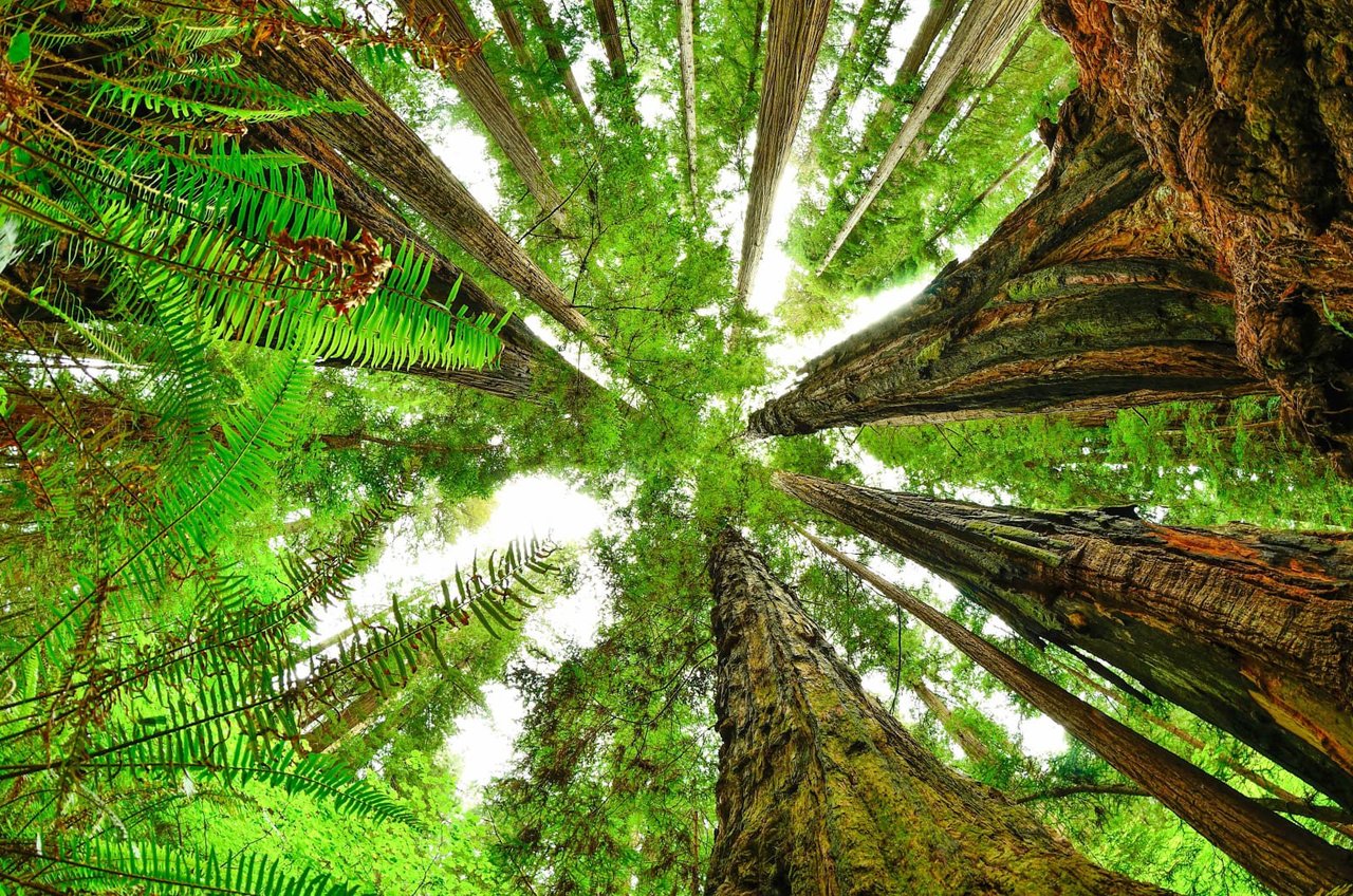
Renowned for the world’s tallest trees, Redwood’s landscapes span from open prairies and oak woodlands to pristine rivers and untamed coastline. This ancient home has supported people for thousands of years. The National Park Service and California State Parks now work to safeguard and rejuvenate these lands for everyone’s enjoyment, learning, and inspiration.
NPS.gov3 spots
-
Tall Trees Grove
A permit-only grove among some of the tallest trees on Earth.
Place 50
Rocky Mountain National Park
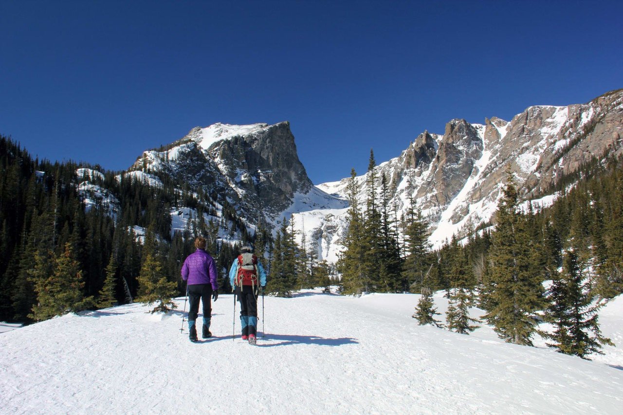
Rocky Mountain National Park's 415 square miles (265,807 acres) encompasses a spectacular range of mountain environments. From meadows found in the montane life zone to glistening alpine lakes and up to the towering mountain peaks, there is something for everyone to discover. Along the way explore over 300 miles of hiking trails and incredible wildlife viewing.
NPS.gov3 spots
-
Alpine Visitor Center
At 11,796 feet on Trail Ridge Road, the highest visitor center in the national park system.
-
Longs Peak
The park's only fourteener, at 14,259 feet.
Place 51
Saguaro National Park
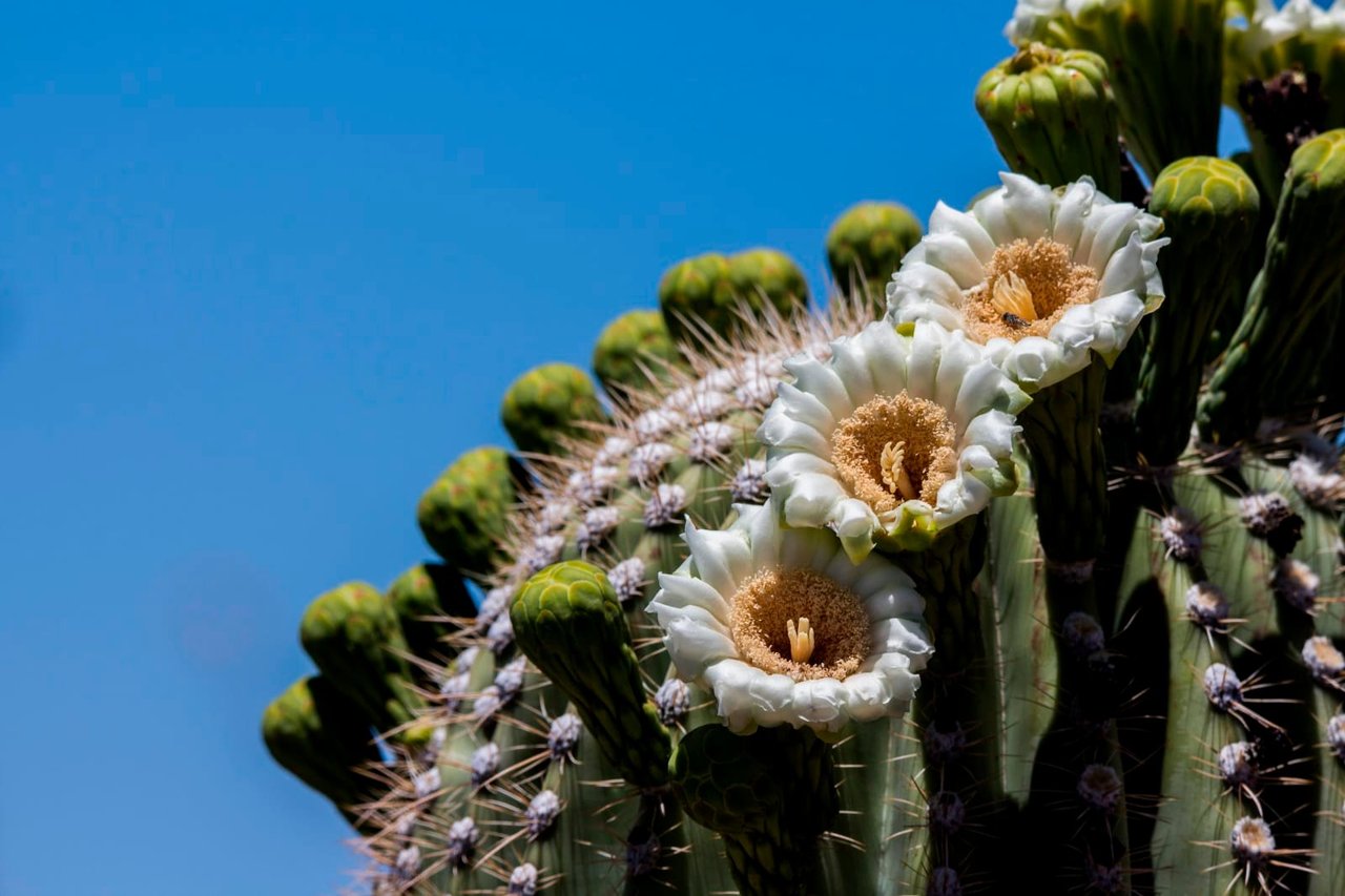
Tucson, Arizona is home to the nation's largest cacti. The giant saguaro is the universal symbol of the American west. These majestic plants, found only in a small portion of the United States, are protected by Saguaro National Park, to the east and west of the modern city of Tucson. Here you have a chance to see these enormous cacti, silhouetted by the beauty of a magnificent desert sunset.
NPS.gov3 spots
Place 52
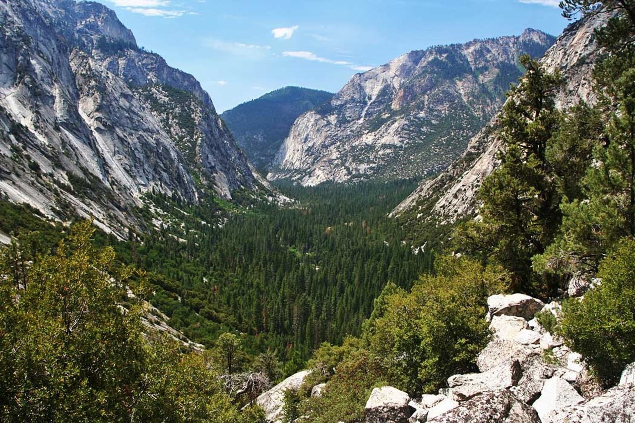
Sequoia & Kings Canyon National Parks
Huge mountains, rugged foothills, deep canyons, vast caverns, and the world’s largest trees exemplify the diversity of landscapes, life, and beauty here. Explore these pages to plan your visit or to learn about the plants and animals here and the threats they face. Ancient giant sequoias may seem invincible, but they, too are vulnerable.
NPS.gov3 spots
-
General Sherman Tree
The largest tree on Earth by volume.
-
Moro Rock
A granite dome climbed by 350 steps to a view of the Great Western Divide.
-
General Grant Tree
The second-largest tree on Earth, known as the Nation's Christmas Tree.
Place 53
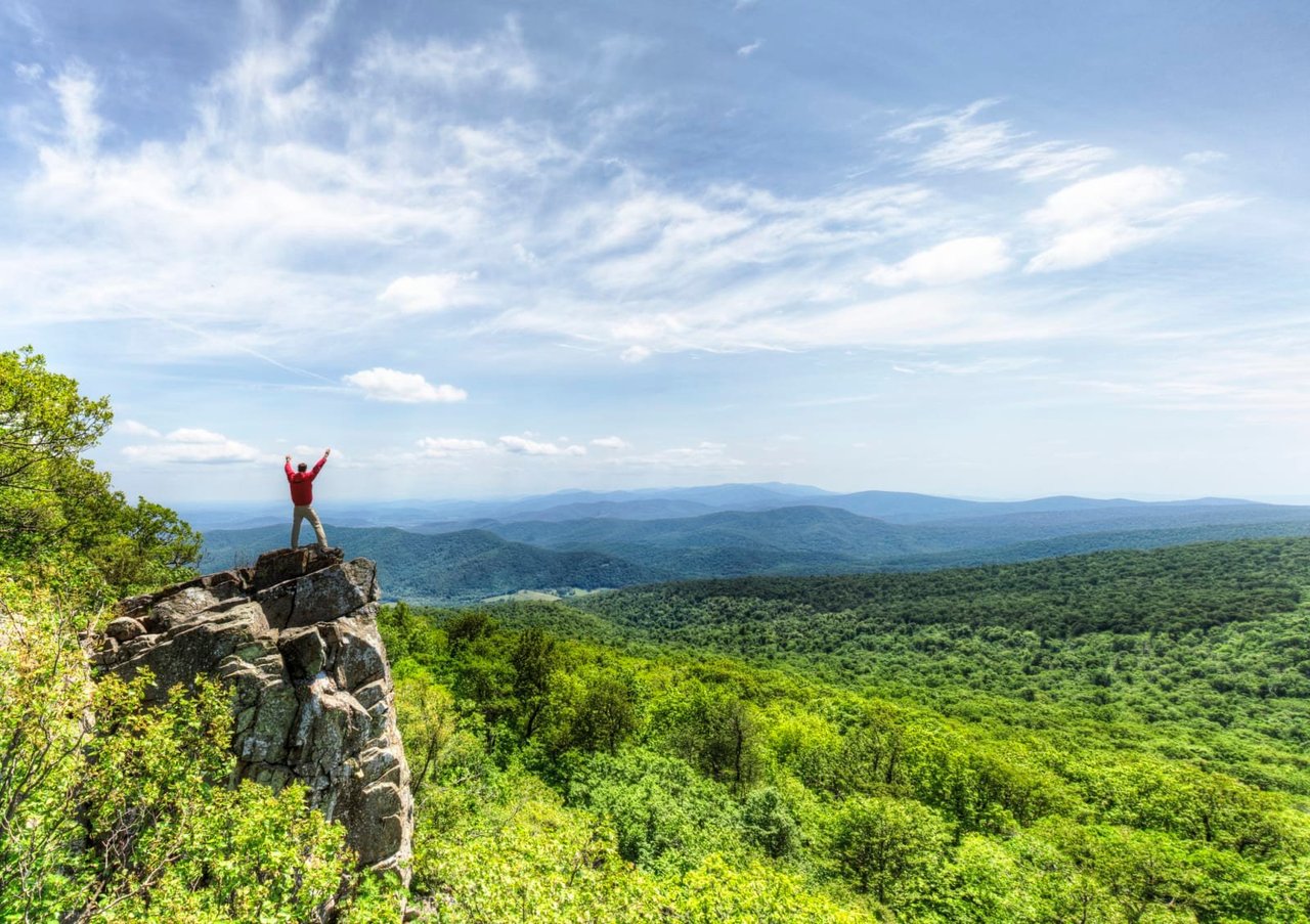
Shenandoah National Park
Just 75 miles from the bustle of Washington, D.C., Shenandoah National Park is a land bursting with cascading waterfalls, spectacular vistas, fields of wildflowers, and quiet wooded hollows. With over 200,000 acres of protected lands that are haven to deer, songbirds, and black bear, there's so much to explore...and your journey begins right here!
NPS.gov3 spots
-
Old Rag Mountain
A challenging rock scramble to one of the best views in the park.
-
Big Meadows
A large meadow on Skyline Drive, good for deer, wildflowers and stargazing.
Place 54
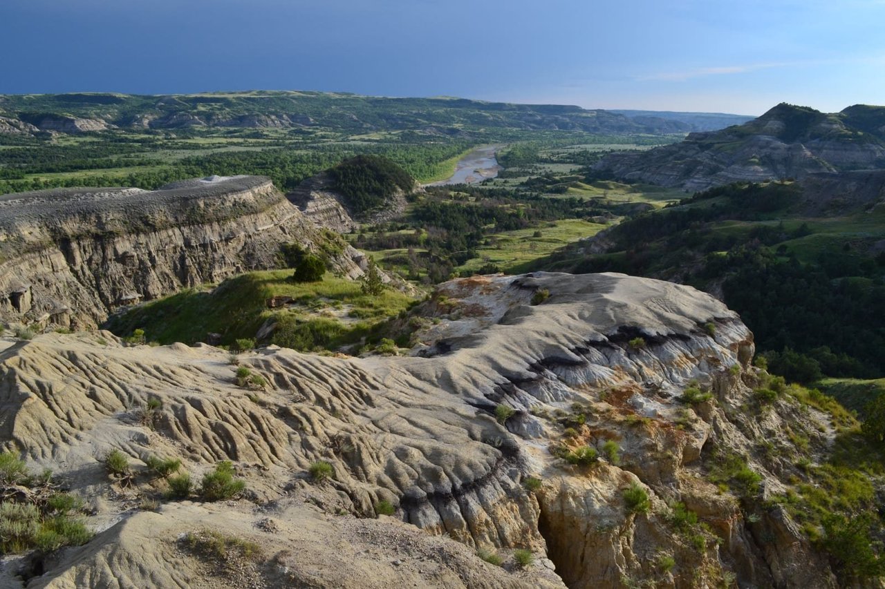
Theodore Roosevelt National Park
When Theodore Roosevelt came to Dakota Territory to hunt bison in 1883, he was a skinny, young, spectacled dude from New York. He could not have imagined how his adventure in this remote and unfamiliar place would forever alter the course of the nation. The rugged landscape and strenuous life that TR experienced here would help shape a conservation policy that we still benefit from today.
NPS.gov3 spots
-
Painted Canyon Overlook
A view over colorful badlands from Interstate 94.
Place 55
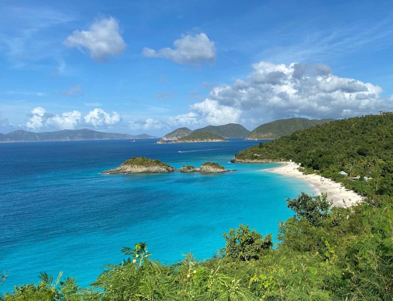
Virgin Islands National Park
Go beyond Virgin Islands National Park's stunning white-sand beaches. Hike to historic plantation sites to learn about a challenging past when sugar and enslaved labor dominated life on the island. Visit the Indigenous Taino's ancient petroglyphs. Snorkel coral reefs to discover hidden marine life. Two-thirds of the island of St. John is national park, making it a unique destination for visitors.
NPS.gov3 spots
-
Annaberg Plantation
Ruins of an 18th-century sugar plantation worked by enslaved people.
Place 56
Voyageurs National Park
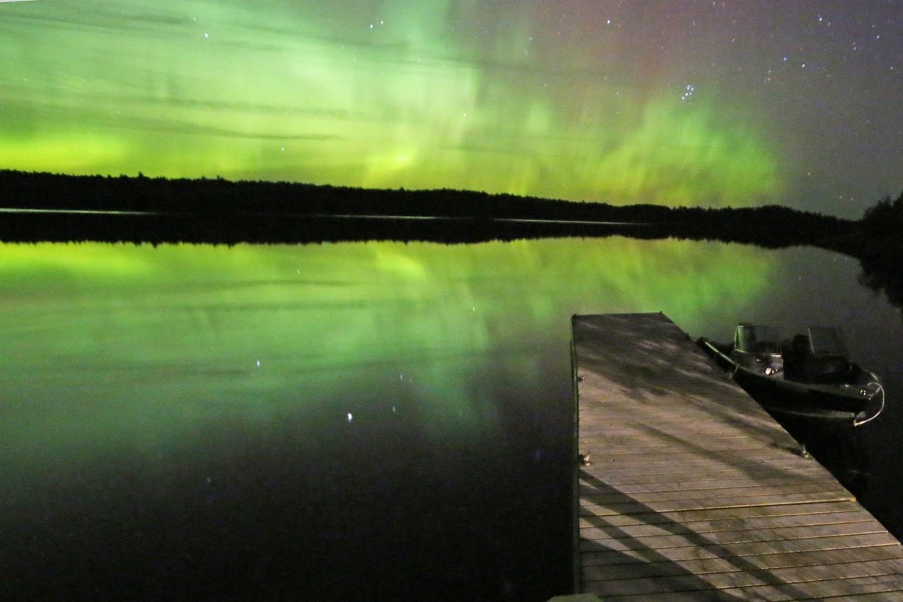
Voyageurs National Park spans 218,000 acres of lakes, forests, and streams in northern Minnesota. Established in 1975, the park is named after the French-Canadian Voyageurs who once navigated these abundant waters. Voyageurs National Park provides exceptional opportunities for recreation and exploration amidst landscapes rich in natural beauty, history, and cultural heritage.
NPS.gov3 spots
-
Ellsworth Rock Gardens
Terraced gardens and abstract rock sculptures on Kabetogama Lake.
-
Rainy Lake Visitor Center
The main visitor center, the starting point for boat tours.
Place 57
White Sands National Park
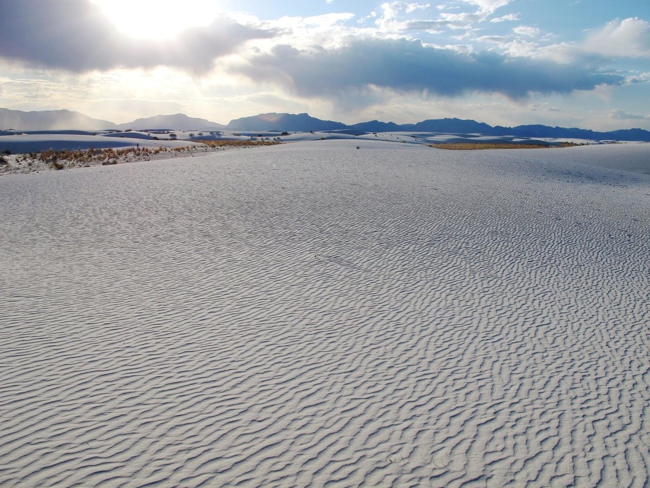
Rising from the heart of the Tularosa Basin is one of the world's great natural wonders - the glistening white sands of New Mexico. Great wave-like dunes of gypsum sand have engulfed 275 square miles of desert, creating the world's largest gypsum dunefield. White Sands National Park preserves a major portion of this unique dunefield, along with the plants and animals that live here.
NPS.gov3 spots
-
Interdune Boardwalk
An accessible boardwalk into the world's largest gypsum dunefield.
Place 58
Wind Cave National Park
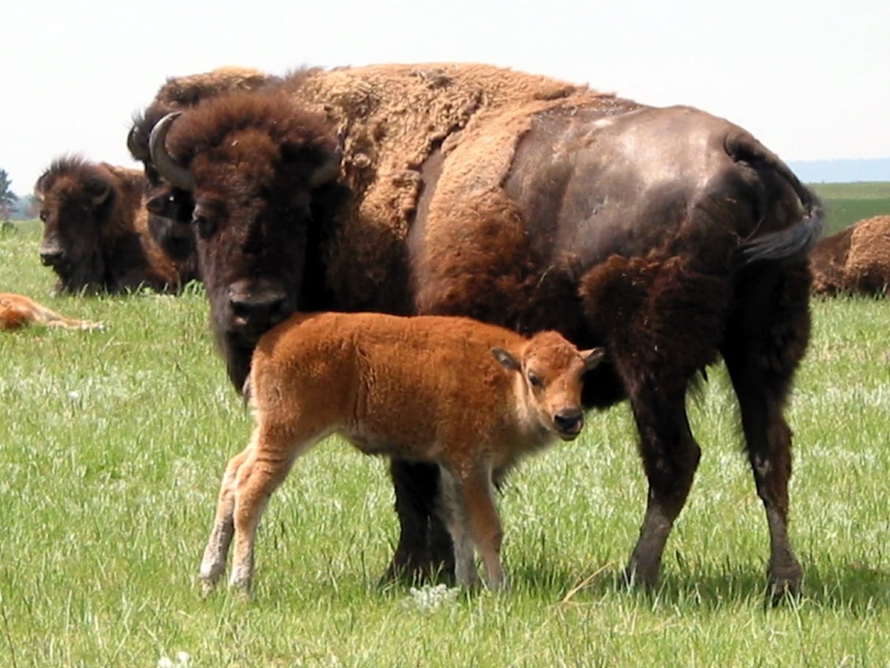
Wind Cave National Park protects two very different worlds - one deep within the earth, the other a sunlit world of many resources. Bison, elk, and other wildlife roam the rolling prairie grasslands and forested hillsides of one of America's oldest national parks. Below the remnant island of intact prairie sits Wind Cave, one of the longest and most complex caves in the world.
NPS.gov2 spots
-
Natural Entrance
The small hole in the ground that breathes air in and out, giving the cave its name.
Place 59
Wrangell-St. Elias National Park & Preserve
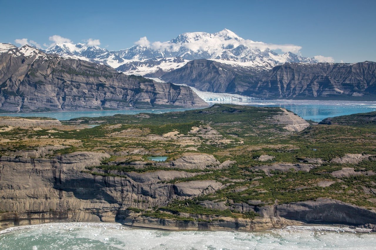
Wrangell-St. Elias is a vast national park that rises from the ocean all the way up to 18,008 ft. At 13.2 million acres, the park is the same size as Yellowstone National Park, Yosemite National Park, and Switzerland combined! Within this wild landscape, people continue to live off the land as they have done for centuries. This rugged, beautiful land is filled with opportunities for adventure.
NPS.gov2 spots
-
Kennecott Mines
A red-painted copper mill town abandoned in 1938, now a National Historic Landmark.
Place 60
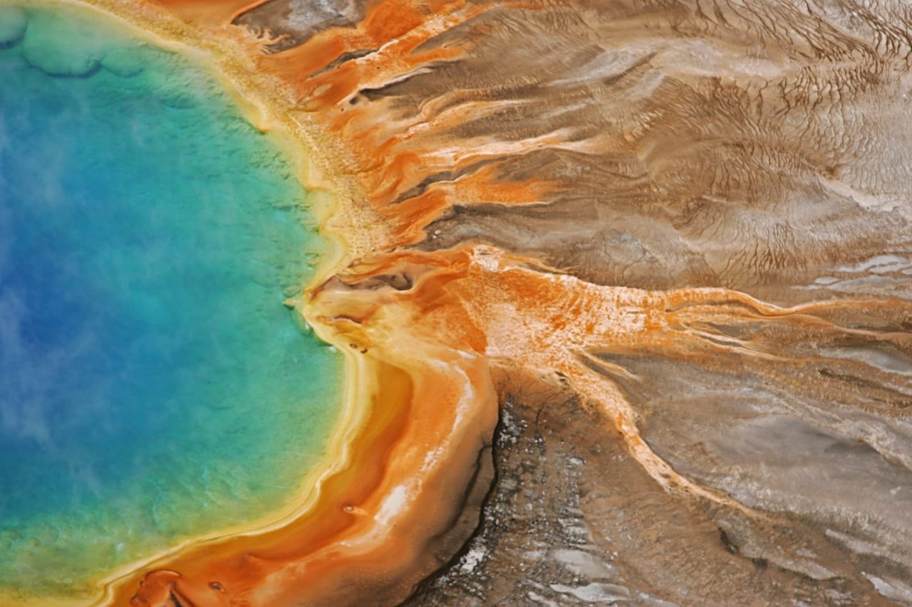
Yellowstone National Park
On March 1, 1872, Yellowstone became the first national park for all to enjoy the unique hydrothermal wonders. Today, millions of people come here each year to camp, hike, and enjoy the majesty of the park.
NPS.gov3 spots
-
Old Faithful
The world's most famous geyser, erupting roughly every 60 to 110 minutes.
-
Grand Prismatic Spring
The largest hot spring in the U.S., ringed with bands of orange and yellow.
-
Grand Canyon of the Yellowstone
A yellow-walled canyon with the 308-foot Lower Falls.
Place 61
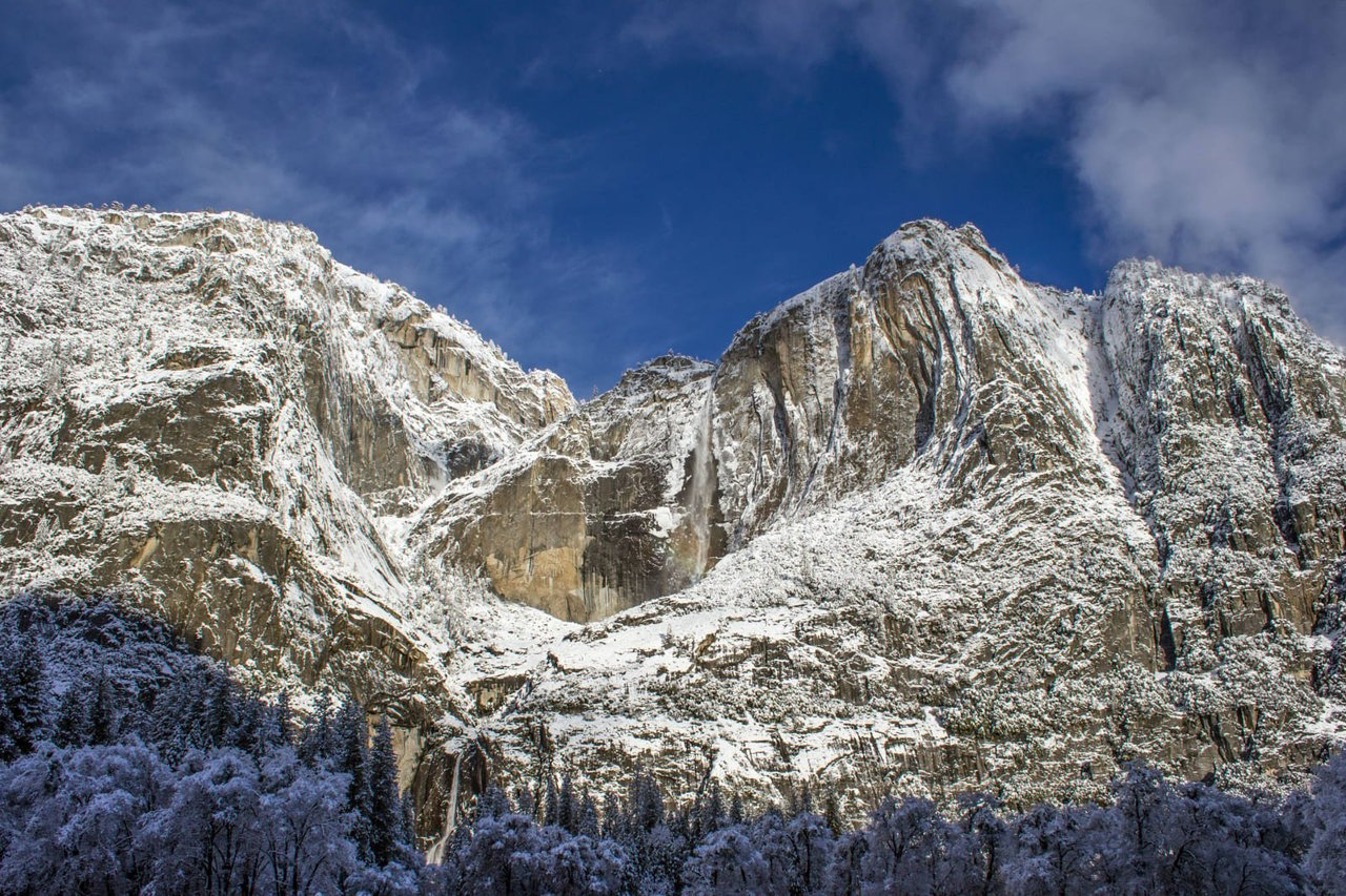
Yosemite National Park
Not just a great valley, but a shrine to human foresight, the strength of granite, the power of glaciers, the persistence of life, and the tranquility of the High Sierra. First protected in 1864, Yosemite National Park is best known for its waterfalls, but within its nearly 1,200 square miles, you can find deep valleys, grand meadows, ancient giant sequoias, a vast wilderness area, and much more.
NPS.gov3 spots
-
Half Dome
Yosemite's iconic granite dome, climbed by permit using the cables route.
-
Yosemite Falls
One of the tallest waterfalls in North America, at 2,425 feet.
-
Glacier Point
An overlook 3,200 feet above the valley, facing Half Dome.
Place 62
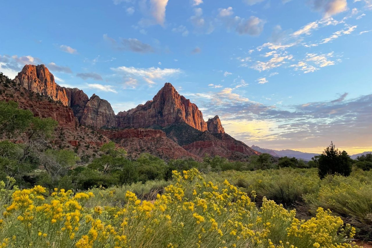
Zion National Park
Follow the paths where people have walked for thousands of years. Gaze up at massive sandstone cliffs of cream, pink, and red that soar into a brilliant blue sky. Experience the tall, stretching walls of a narrow slot canyon. Zion’s unique array of plants and animals will enchant you as you absorb the rich history of the past and enjoy the excitement of present-day adventures.
NPS.gov3 spots
-
Angels Landing
A narrow fin of rock climbed with chains, by permit.
-
Emerald Pools
Trails to pools and waterfalls below the cliffs.